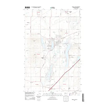
2014 Map of Medical Lake
USGS Topo · Published 2014About this map
Medical Lake serves as the central hub of this Spokane County landscape, surrounded by a high density of water bodies and military infrastructure. To the north, the sprawling grounds of Fairchild AFB dominate the terrain, while the residential and institutional layout of Lakeland Village sits just south of the main town site. The area is notable for its numerous lakes, including the large Silver Lake, Clear Lake, and Otter Lake, which likely influenced the historical development and recreational patterns of the region.
Find a feature on this map
139 named features on this map. Tap any name to fly to it.
Don’t see what you’re looking for? This feature index may not catch every label — zoom into the map to look around manually.
Map Details
Editions of this 2014 Medical Lake Map
This is the sole edition of this map. No revisions or reprints were ever made.
Other maps of this area

1943 · Medical Lake
USGS Topo · 1:62,500

1945 · Reardan
USGS Topo · 1:62,500

1953 · Reardan
USGS Topo · 1:62,500

1954 · Airway Heights
USGS Topo · 1:24,000

1954 · Medical Lake
USGS Topo · 1:24,000

1954 · Medical Lake
USGS Topo · 1:62,500

1954 · Cheney
USGS Topo · 1:62,500
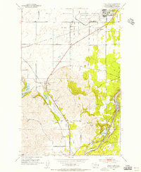
1954 · Four Lakes
USGS Topo · 1:24,000

1954 · Sprague
USGS Topo · 1:62,500

1954 · Deep Creek
USGS Topo · 1:24,000