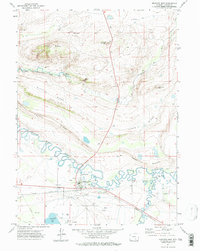
1971 Map of Medicine Bow
USGS Topo · Published 1975About this map
Medicine Bow sits at the junction of the high plains and the winding watercourses of Carbon County, where the Union Pacific Railroad cuts across the landscape south of Fossil Ridge and Slate Ridge. This 1971 survey illustrates a critical point of transit and water management, featuring a prominent Aqueduct and the Vandiver Ditch that feed into local agricultural operations like the Two Bit Ranch. Local history is anchored by the Cem Vandiver and the legendary Robbers Roost Ranch, while the natural topography is defined by the convergence of the Medicine Bow River, Little Medicine Bow River, and Rock Creek. The presence of several Oil Wells and a gravel pit indicates the varied industrial uses of the land alongside traditional ranching during the early 1970s.
Find a feature on this map
33 named features on this map. Tap any name to fly to it.
Don’t see what you’re looking for? This feature index may not catch every label — zoom into the map to look around manually.
Map Details
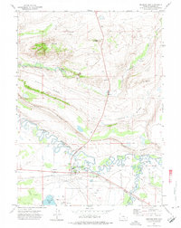
Editions of this 1971 Medicine Bow Map
2 editions found
Other maps of this area

1914 · Saddleback Hills
USGS Topo · 1:62,500

1915 · Como Ridge
USGS Topo · 1:48,000

1918 · Como Ridge
USGS Topo · 1:62,500

1921 · Saddleback Hills
USGS Topo · 1:62,500

1954 · Rawlins
USGS Topo · 1:250,000

1955 · Casper
USGS Topo · 1:250,000

1958 · Rawlins
USGS Topo · 1:250,000

1958 · Casper
USGS Topo · 1:250,000
1961 · Walker Draw SE
USGS Topo · 1:24,000

1961 · T B Ranch
USGS Topo · 1:24,000