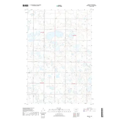
2018 Map of Medina SE
USGS Topo · Published 2018About this map
Saint Peters Cem sits at a high point in the southwestern corner of this Stutsman County landscape, a vital anchor for local genealogists researching the rural prairie history of central North Dakota. The terrain is characterized by a dense network of glacial depressions and wetlands, including named water bodies such as Stink Lake in the northwest and School Lake near the eastern boundary. This topography, part of the Missouri Coteau, dictates the placement of the section-line road grid, where routes like 52nd Ave SE and 38th St SE navigate around numerous unnamed sloughs and seasonal ponds. The map illustrates the persistent 1:24,000 scale detail of the Public Land Survey System, showing the boundaries between townships T139N and T138N, which divide the agricultural tracts and wetland areas.
Find a feature on this map
21 named features on this map. Tap any name to fly to it.
Don’t see what you’re looking for? This feature index may not catch every label — zoom into the map to look around manually.
Map Details
Editions of this 2018 Medina SE Map
This is the sole edition of this map. No revisions or reprints were ever made.
Other maps of this area

1953 · Jamestown
USGS Topo · 1:250,000

1953 · Cleveland SW
USGS Topo · 1:24,000

1954 · Cleveland NW
USGS Topo · 1:24,000

1954 · Medina
USGS Topo · 1:24,000

1955 · Crystal Springs
USGS Topo · 1:24,000

1955 · Medina SW
USGS Topo · 1:24,000

1955 · Medina SE
USGS Topo · 1:24,000

1956 · Jamestown
USGS Topo · 1:250,000

1975 · Medina SW
USGS Topo · 1:24,000

1983 · Streeter
USGS Topo · 1:24,000