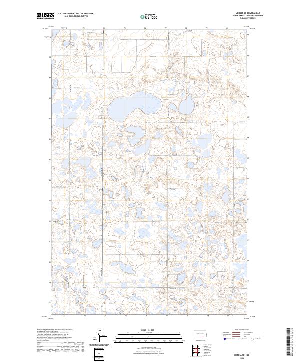
2024 Map of Medina SE
USGS Topo · Published 2024About this map
Saint Peters Lutheran and its adjacent Cem serve as a focal point for this section of Stutsman County, situated among the countless glacial potholes and wetlands of the Prairie Pothole Region. The landscape is heavily defined by conservation efforts, notably the Half-Way Lake National Wildlife Refuge and the Stutsman County Waterfowl Production Area. These protected zones highlight the area's importance as a migratory corridor. A grid of section roads, including 53rd Ave SE and 43rd St SE, provides access to the scattered wetlands and agricultural tracts that dominate the township lines of T139N and T138N. The map reflects a rural environment where land use is shared between farming and significant federal and county wildlife management areas.
Find a feature on this map
21 named features on this map. Tap any name to fly to it.
Don’t see what you’re looking for? This feature index may not catch every label — zoom into the map to look around manually.
Map Details
Editions of this 2024 Medina SE Map
This is the sole edition of this map. No revisions or reprints were ever made.
Other maps of this area

1953 · Jamestown
USGS Topo · 1:250,000

1953 · Cleveland SW
USGS Topo · 1:24,000

1954 · Cleveland NW
USGS Topo · 1:24,000

1954 · Medina
USGS Topo · 1:24,000

1955 · Crystal Springs
USGS Topo · 1:24,000

1955 · Medina SW
USGS Topo · 1:24,000

1955 · Medina SE
USGS Topo · 1:24,000

1956 · Jamestown
USGS Topo · 1:250,000

1975 · Medina SW
USGS Topo · 1:24,000

1983 · Streeter
USGS Topo · 1:24,000