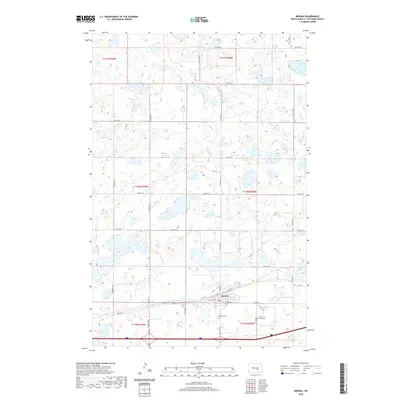
2020 Map of Medina
USGS Topo · Published 2020About this map
Medina serves as the central hub of this Missouri Plateau landscape, situated along a transportation corridor defined by Interstate 94 and the local road network. The town layout is clearly delineated by streets such as Np St Nw, Water St W, and School St E, reflecting a classic prairie settlement pattern centered on rail and road access. Beyond the residential and commercial core, the map highlights significant local landmarks for genealogists, including Medina Cem and Saint Marys Cem situated to the south and east. The surrounding township sections, such as t140n r68w, are characterized by a dense network of glacial prairie potholes and wetlands, interspersed with a grid of county roads like Co Rd 39 and numerous numbered avenues. This detailed survey provides a clear view of the rural infrastructure and land divisions in Stutsman County during the early twenty-first century.
Find a feature on this map
29 named features on this map. Tap any name to fly to it.
Don’t see what you’re looking for? This feature index may not catch every label — zoom into the map to look around manually.
Map Details
Editions of this 2020 Medina Map
This is the sole edition of this map. No revisions or reprints were ever made.
Other maps of this area

1952 · New Rockford
USGS Topo · 1:250,000

1953 · Jamestown
USGS Topo · 1:250,000

1953 · Cleveland SW
USGS Topo · 1:24,000

1954 · Cleveland NW
USGS Topo · 1:24,000

1954 · Medina
USGS Topo · 1:24,000

1955 · Crystal Springs
USGS Topo · 1:24,000

1955 · Medina SW
USGS Topo · 1:24,000

1955 · Medina SE
USGS Topo · 1:24,000

1956 · New Rockford
USGS Topo · 1:250,000

1956 · Jamestown
USGS Topo · 1:250,000