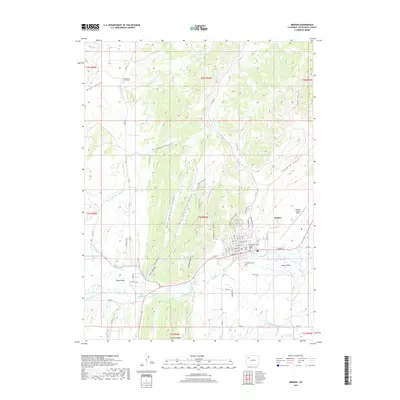
2019 Map of Meeker
USGS Topo · Published 2019About this map
White River valley life and high-desert terrain define this western Colorado landscape. The town of Meeker serves as the focal point, situated at the confluence of several irrigation systems including the Meeker Ditch, Highland Ditch, and Pease Ditch. These waterways reflect the agricultural foundations of Powell Park and the surrounding flats. To the south, the dramatic geologic rise of the Grand Hogback looms over the river valley.
Find a feature on this map
75 named features on this map. Tap any name to fly to it.
Don’t see what you’re looking for? This feature index may not catch every label — zoom into the map to look around manually.
Map Details
Editions of this 2019 Meeker Map
This is the sole edition of this map. No revisions or reprints were ever made.
Other maps of this area

1906 · Grand Hogback
USGS Topo · 1:125,000

1907 · White River
USGS Topo · 1:125,000

1910 · Danforth Hills
USGS Topo · 1:125,000

1910 · Grand Hogback
USGS Topo · 1:125,000

1910 · White River
USGS Topo · 1:125,000

1912 · Meeker
USGS Topo · 1:62,500

1914 · Meeker
USGS Topo · 1:62,500

1952 · Segar Mountain
USGS Topo · 1:24,000

1954 · Vernal
USGS Topo · 1:250,000

1954 · Craig
USGS Topo · 1:250,000