
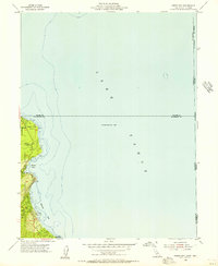
1955 Map of Meeks Bay
USGS Topo · Published 1971About this map
Lake Tahoe dominates this mid-century survey of the California-Nevada border region, capturing the western shoreline during a period of steady residential and recreational development. The map details the wooded slopes of the Eldorado National Forest as they meet the deep waters of Meeks Bay and Rubicon Bay. Early lakeside settlements like Tahoma and the seasonal hubs at Paradise Flat are clearly marked, alongside the early infrastructure of Sugar Pine Point State Park, which includes the General Guard Station.
Find a feature on this map
18 named features on this map. Tap any name to fly to it.
Don’t see what you’re looking for? This feature index may not catch every label — zoom into the map to look around manually.
Map Details
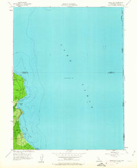
Editions of this 1955 Meeks Bay Map
3 editions found
Other maps of this area

1889 · Pyramid Peak
USGS Topo · 1:125,000

1889 · Markleeville
USGS Topo · 1:125,000

1891 · Carson
USGS Topo · 1:125,000

1891 · Markleeville
USGS Topo · 1:125,000

1891 · Truckee
USGS Topo · 1:125,000

1891 · Pyramid Peak
USGS Topo · 1:125,000

1893 · Carson
USGS Topo · 1:125,000

1893 · Markleeville
USGS Topo · 1:125,000

1893 · Truckee
USGS Topo · 1:125,000

1895 · Pyramid Peak
USGS Topo · 1:125,000