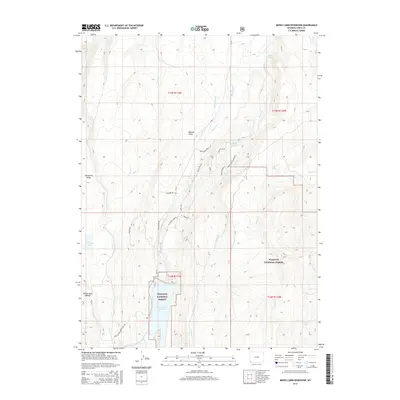
2015 Map of Meeks Cabin Reservoir
USGS Topo · Published 2015About this map
Meeks Cabin Reservoir and the headwaters of the Blacks Fork dominate this high-elevation landscape within the Wasatch National Forest. The map documents a complex network of seasonal water sources and agricultural infrastructure, including the Bigelow Ditch and Byrne Reservoir, alongside natural features like Beaver Lake and Van Tassel Lake. Evidence of the region's ranching and recreational history is seen in the naming of the Blacks Fork Sheep Land Trl and various family-named landmarks like Mumford Ridge and Archie Pond. Local roads such as 4-H Youth Camp Rd and Horse Creek Canyon Rd wind through terrain marked by distinct drainages like Moose Hollow and Balsam Draw.
Find a feature on this map
34 named features on this map. Tap any name to fly to it.
Don’t see what you’re looking for? This feature index may not catch every label — zoom into the map to look around manually.
Map Details
Editions of this 2015 Meeks Cabin Reservoir Map
This is the sole edition of this map. No revisions or reprints were ever made.
Other maps of this area

1885 · Uinta
USGS Topo · 1:250,000

1901 · Hayden Peak
USGS Topo · 1:125,000

1903 · Hayden Peak
USGS Topo · 1:125,000

1905 · Gilbert Peak
USGS Topo · 1:125,000

1906 · Gilbert Peak
USGS Topo · 1:125,000

1954 · Salt Lake City
USGS Topo · 1:250,000

1954 · Ogden
USGS Topo · 1:250,000

1958 · Ogden
USGS Topo · 1:250,000

1958 · Salt Lake City
USGS Topo · 1:250,000

1960 · Ogden
USGS Topo · 1:250,000