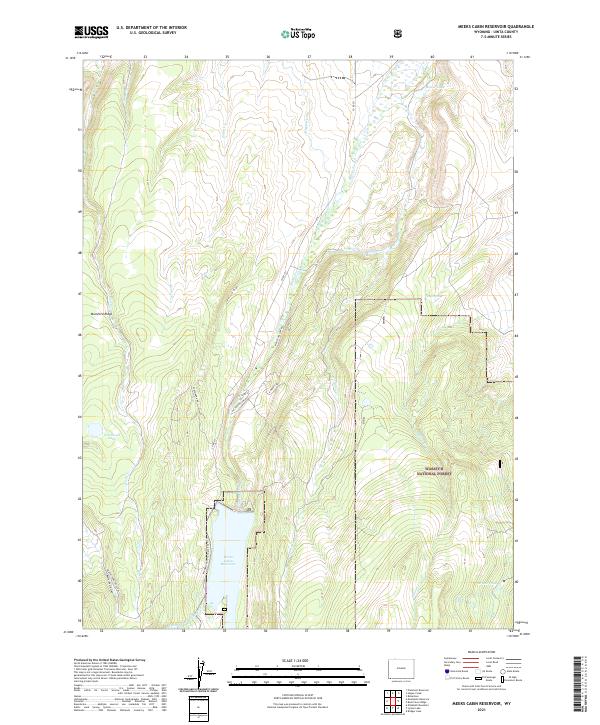
2021 Map of Meeks Cabin Reservoir
USGS Topo · Published 2021About this map
Meeks Cabin Reservoir dominates the high-altitude landscape of Uinta County, serving as a primary water management feature for the region. Fed by the Blacks Fork and the Little W Fork Blacks Fork, the reservoir is a focal point for the surrounding Wasatch National Forest. The map details a specialized infrastructure of water transport and backcountry access, including the Bigelow Ditch and primitive routes like the Blacks Fork Sheep Trl.
Find a feature on this map
30 named features on this map. Tap any name to fly to it.
Don’t see what you’re looking for? This feature index may not catch every label — zoom into the map to look around manually.
Map Details
Editions of this 2021 Meeks Cabin Reservoir Map
This is the sole edition of this map. No revisions or reprints were ever made.
Other maps of this area

1885 · Uinta
USGS Topo · 1:250,000

1901 · Hayden Peak
USGS Topo · 1:125,000

1903 · Hayden Peak
USGS Topo · 1:125,000

1905 · Gilbert Peak
USGS Topo · 1:125,000

1906 · Gilbert Peak
USGS Topo · 1:125,000

1954 · Salt Lake City
USGS Topo · 1:250,000

1954 · Ogden
USGS Topo · 1:250,000

1958 · Ogden
USGS Topo · 1:250,000

1958 · Salt Lake City
USGS Topo · 1:250,000

1960 · Ogden
USGS Topo · 1:250,000