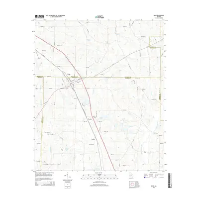
2014 Map of Meigs
USGS Topo · Published 2014About this map
Meigs serves as the central hub of this South Georgia landscape, where the borders of Mitchell, Thomas, and Grady counties converge. The town's grid is defined by its relationship with the Us-19 corridor and the surrounding agricultural tracts. To the south, the smaller communities of Quality and Hansell sit along the highway, reflecting the linear settlement patterns common to the region's transport routes. The area is heavily intersected by small watercourses and family-named landmarks, including Singletary Lake and the Little Ochlockonee River. Genealogists will find a significant distribution of local burial grounds, such as Sunset Cem, Midway Cem, and Providence Cem, which are scattered throughout the rural landscape. Bridges like Segler Mill Bridge and Brumby Bridge mark historical crossing points over the numerous creeks, such as Horse Cr and Big Cr, that drain the low-lying terrain.
Find a feature on this map
97 named features on this map. Tap any name to fly to it.
Don’t see what you’re looking for? This feature index may not catch every label — zoom into the map to look around manually.
Map Details
Editions of this 2014 Meigs Map
This is the sole edition of this map. No revisions or reprints were ever made.
Other maps of this area

1953 · Dothan
USGS Topo · 1:250,000

1953 · Waycross
USGS Topo · 1:250,000

1954 · Dothan
USGS Topo · 1:250,000

1954 · Valdosta
USGS Topo · 1:250,000

1954 · Tallahassee
USGS Topo · 1:250,000

1955 · Dothan
USGS Topo · 1:250,000

1956 · Cairo
USGS Topo · 1:62,500

1957 · Thomasville
USGS Topo · 1:62,500

1958 · Valdosta
USGS Topo · 1:250,000

1958 · Waycross
USGS Topo · 1:250,000