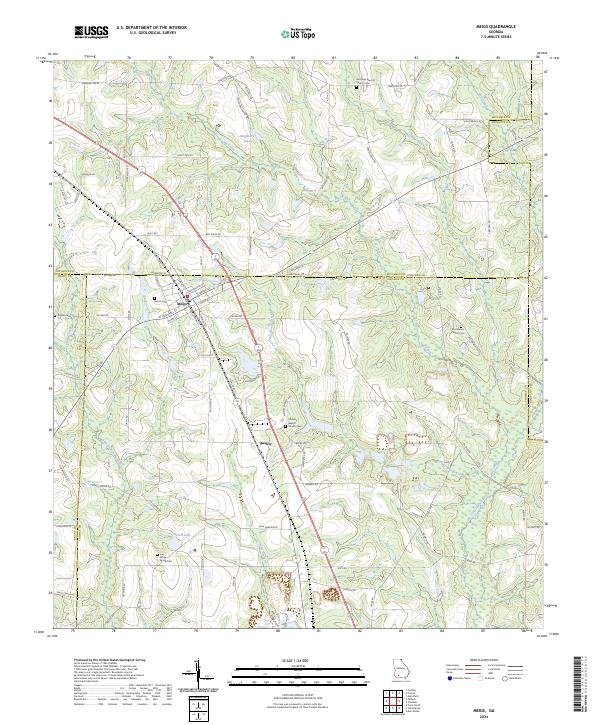
2024 Map of Meigs
USGS Topo · Published 2024About this map
Meigs sits at the intersection of four Georgia counties—Mitchell, Thomas, Grady, and Colquitt—anchoring a landscape of agricultural roads and scattered family landmarks. The town's layout is defined by the E Railroad St corridor and a network of local thoroughfares like Hambelton St and E Marshall St. To the south, the settlement of Quality marks a junction point near Horse Creek, illustrating the dispersed nature of these rural communities where local life often centered around small churches and family burial grounds.
Find a feature on this map
91 named features on this map. Tap any name to fly to it.
Don’t see what you’re looking for? This feature index may not catch every label — zoom into the map to look around manually.
Map Details
Editions of this 2024 Meigs Map
This is the sole edition of this map. No revisions or reprints were ever made.
Other maps of this area

1953 · Dothan
USGS Topo · 1:250,000

1953 · Waycross
USGS Topo · 1:250,000

1954 · Dothan
USGS Topo · 1:250,000

1954 · Valdosta
USGS Topo · 1:250,000

1954 · Tallahassee
USGS Topo · 1:250,000

1955 · Dothan
USGS Topo · 1:250,000

1956 · Cairo
USGS Topo · 1:62,500

1957 · Thomasville
USGS Topo · 1:62,500

1958 · Valdosta
USGS Topo · 1:250,000

1958 · Waycross
USGS Topo · 1:250,000