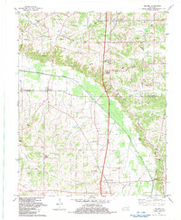
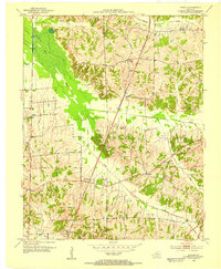
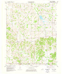
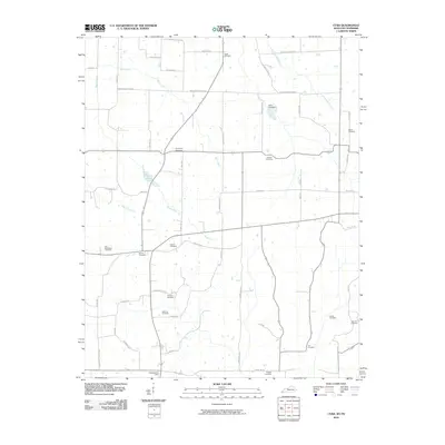
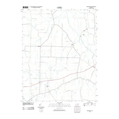
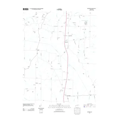
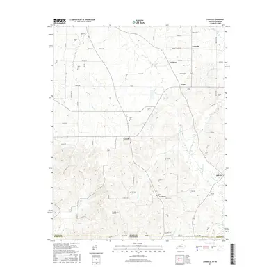
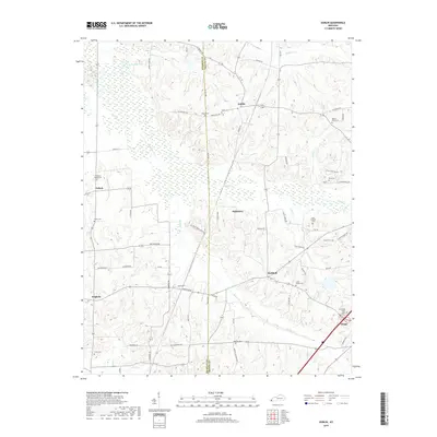
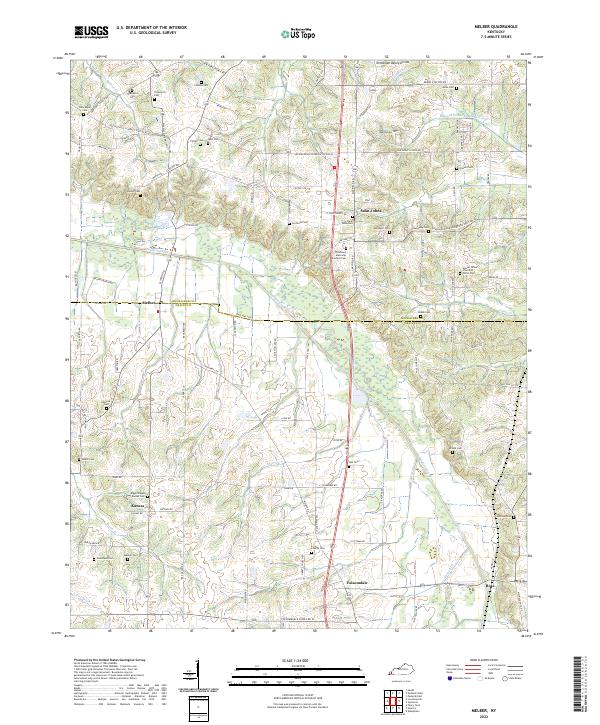
1982 Map of Melber
USGS Topo · Published 1983About this map
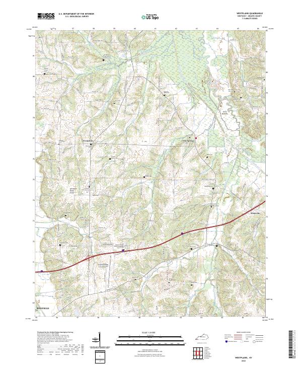
The agricultural and creek-bottom lands of the Tennessee River Valley are meticulously documented here at the boundary of McCracken and Graves counties. The landscape is defined by the winding course of Mayfield Creek and its many tributaries, including Massac Creek and Champion Creek, which drain the low-lying terrain south of the Ohio River. Small settlements like Melber and Boaz anchor a network of rural roads such as the Lovelaceville Florence Station Road. For genealogists and local historians, the sheet is exceptionally detailed in its naming of rural landmarks, featuring numerous family cemeteries like Thompson Cem, Hunt Cem, and Allcock Cem. The prominence of community centers such as St Johns Cem & Ch and Diggs Chapel reflects the established social geography of Western Kentucky during the late twentieth century, while Gravel Pits indicate local extractive industry along the creek terraces.
Find a feature on this map
44 named features on this map. Tap any name to fly to it.
Don’t see what you’re looking for? This feature index may not catch every label — zoom into the map to look around manually.
Map Details
Editions of this 1982 Melber Map
This is the sole edition of this map. No revisions or reprints were ever made.
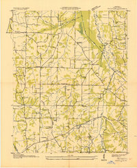
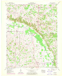
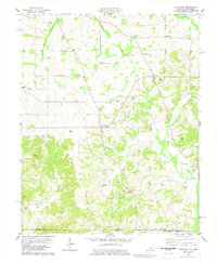
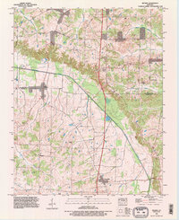
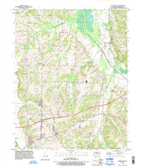
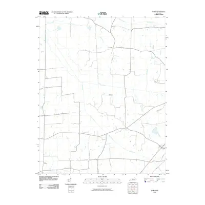
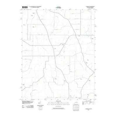
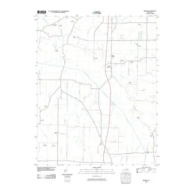
Historical Maps of Melber Through Time
39 maps found
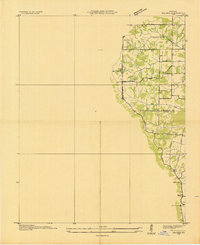
1936 Melber
Graves County, KY
1936 Westplains
Graves County, KY
1951 Melber
Graves County, KY

1951 Westplains
Graves County, KY

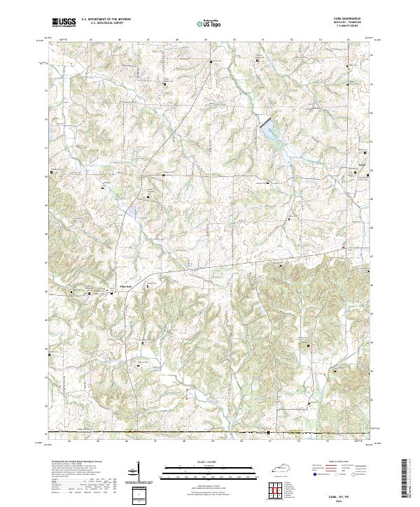
1952 Cuba
Graves County, KY
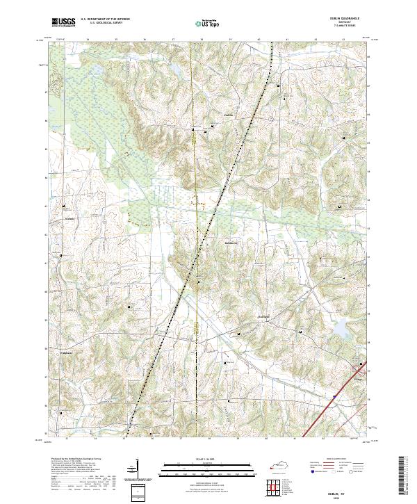
1952 Dublin
Graves County, KY
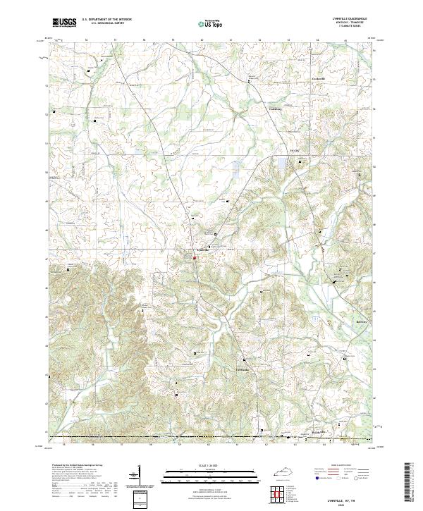
1952 Lynnville
Graves County, KY
1969 Dublin
Graves County, KY
1969 Westplains
Graves County, KY
1977 Cuba
Graves County, KY
1978 Lynnville
Graves County, KY
1982 Melber
Graves County, KY
1993 Melber
Graves County, KY
1993 Westplains
Graves County, KY
2010 Cuba
Graves County, KY
2010 Dublin
Graves County, KY
2010 Lynnville
Graves County, KY
2010 Melber
Graves County, KY
2010 Westplains
Graves County, KY
2013 Cuba
Graves County, KY
2013 Dublin
Graves County, KY
2013 Lynnville
Graves County, KY
2013 Melber
Graves County, KY
2013 Westplains
Graves County, KY
2016 Cuba
Graves County, KY
2016 Dublin
Graves County, KY
2016 Lynnville
Graves County, KY
2016 Melber
Graves County, KY
2016 Westplains
Graves County, KY
2019 Cuba
Graves County, KY
2019 Dublin
Graves County, KY
2019 Lynnville
Graves County, KY
2019 Melber
Graves County, KY
2019 Westplains
Graves County, KY
2022 Cuba
Graves County, KY
2022 Dublin
Graves County, KY
2022 Lynnville
Graves County, KY
2022 Melber
Graves County, KY
2022 Westplains
Graves County, KY