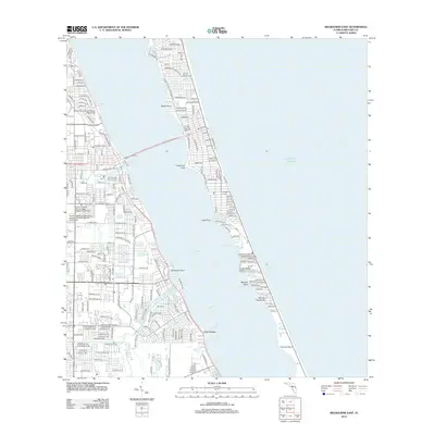
2012 Map of Melbourne East
USGS Topo · Published 2012About this map
Palm Bay and the surrounding barrier island landscape are detailed in this 2012 survey, showcasing the dense residential and educational development along the Indian River Lagoon. The map highlights the significant academic presence of the Florida Institute of Technology College of Business and the Florida Institute of Technology College of Psychology and Liberal Arts, reflecting the area's role as a modern educational hub. Inland, the layout of neighborhoods is punctuated by landmarks such as Fountainhead Memorial Park and the Morris Community College of Business.
Find a feature on this map
206 named features on this map. Tap any name to fly to it.
Don’t see what you’re looking for? This feature index may not catch every label — zoom into the map to look around manually.
Map Details
Editions of this 2012 Melbourne East Map
This is the sole edition of this map. No revisions or reprints were ever made.
Other maps of this area
1949 · Melbourne West
USGS Topo · 1:24,000
1949 · Melbourne East
USGS Topo · 1:24,000
1949 · Sebastian NW
USGS Topo · 1:24,000
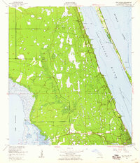
1949 · Eau Gallie
USGS Topo · 1:24,000
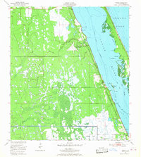
1949 · Grant
USGS Topo · 1:24,000
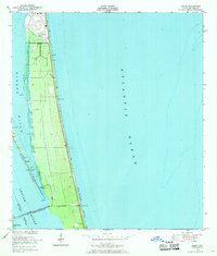
1949 · Tropic
USGS Topo · 1:24,000
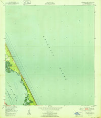
1951 · Sebastian NW
USGS Topo · 1:24,000
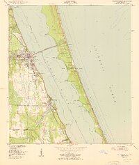
1951 · Melbourne East
USGS Topo · 1:24,000
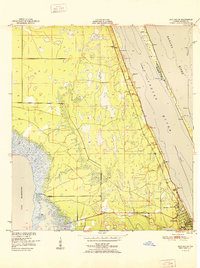
1951 · Eau Gallie
USGS Topo · 1:24,000
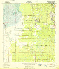
1951 · Melbourne West
USGS Topo · 1:24,000