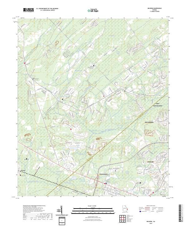
2024 Map of Meldrim
USGS Topo · Published 2024About this map
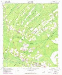
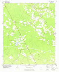
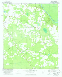
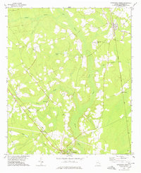
The town of Meldrim anchors this landscape in the eastern corner of Effingham County, where low-lying wetlands and complex water systems define the geography. The area is characterized by a dense network of swamps and creeks, notably the Horning Swamp and Walthour Swamp, which are fed by waterways like Saint Augustine Creek and the River Styx. Human engineering is evident in the Hardin Canal, designed to manage the drainage near the Little Ogeechee River.
Find a feature on this map
195 named features on this map. Tap any name to fly to it.
Don’t see what you’re looking for? This feature index may not catch every label — zoom into the map to look around manually.
Map Details
Editions of this 2024 Meldrim Map
This is the sole edition of this map. No revisions or reprints were ever made.
Historical Maps of Ottawa Estates Through Time
13 maps found
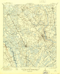
1919 Egypt
Effingham County, GA
1939 Egypt
Effingham County, GA
1943 Egypt
Effingham County, GA
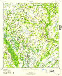
1958 Meldrim
Effingham County, GA
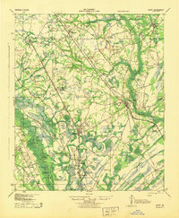
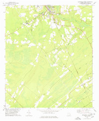
1978 Egypt
Effingham County, GA
1978 Kildare
Effingham County, GA
1978 Springfield North
Effingham County, GA
1978 Springfield South
Effingham County, GA
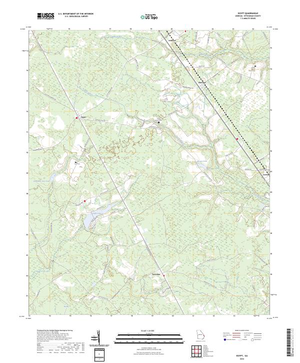
2024 Egypt
Effingham County, GA
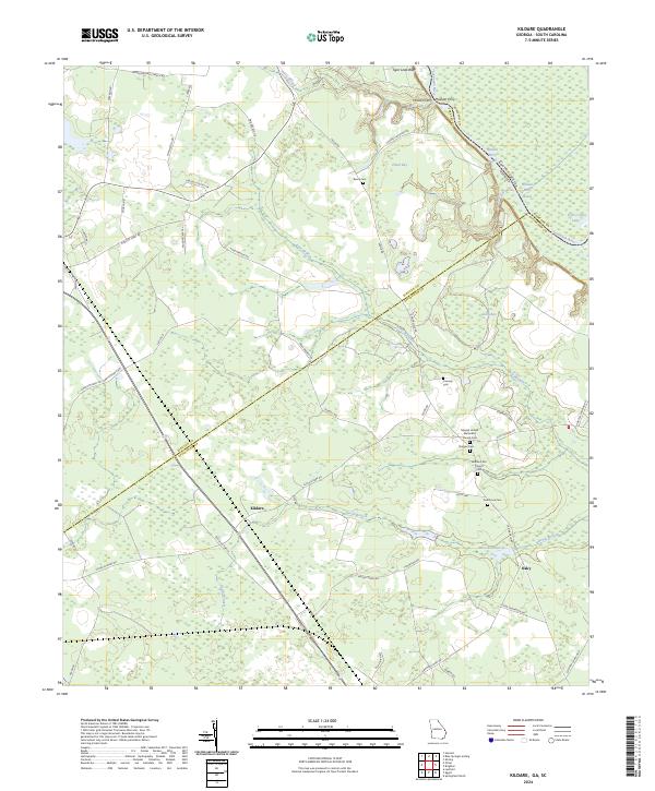
2024 Kildare
Effingham County, GA
2024 Meldrim
Effingham County, GA
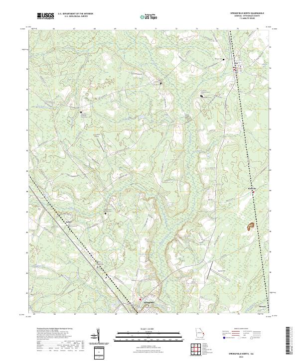
2024 Springfield North
Effingham County, GA
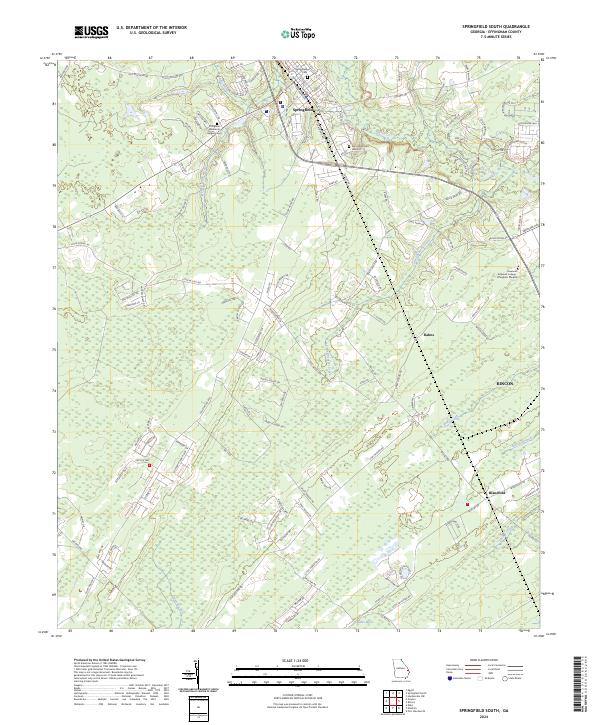
2024 Springfield South
Effingham County, GA