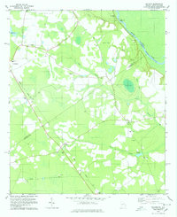
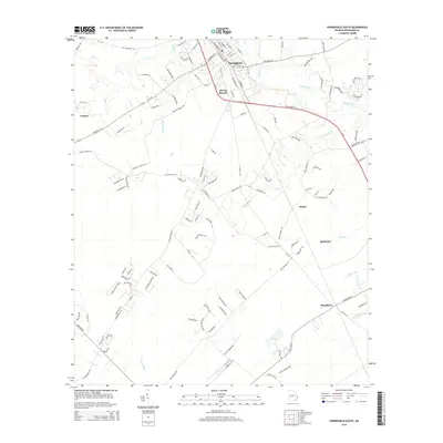
1958 Map of Meldrim
USGS Topo · Published 1977About this map
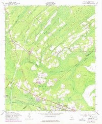
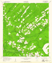
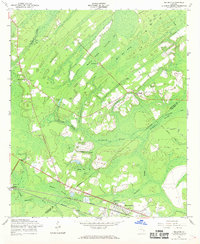
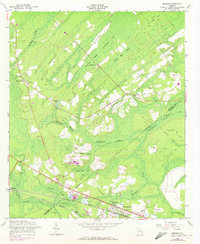
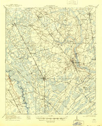
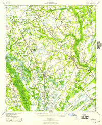
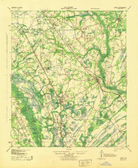
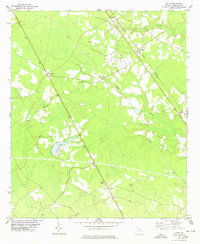
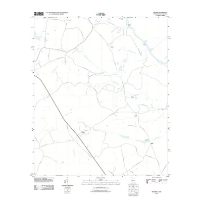
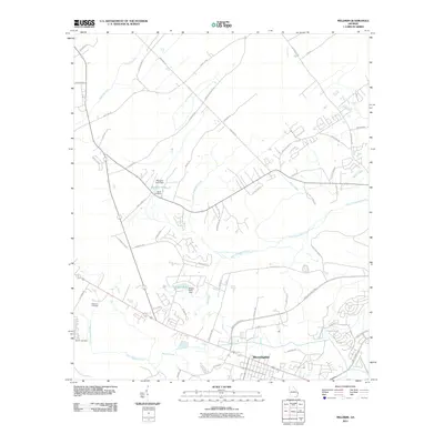
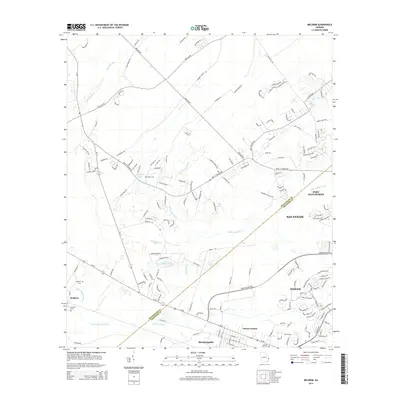
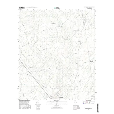
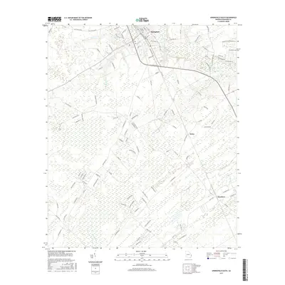
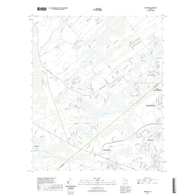
Walthour Swamp and a complex network of dark-water drainages dominate this coastal Georgia landscape, where the boundary between Effingham and Chatham counties follows the meandering Little Ogeechee River. The settlement at Meldrim serves as a local hub, anchored by the Seaboard Coast Line railroad and the Meldrim Cemetery. Moving east toward Bloomingdale, the topography is defined by significant wetlands like Hardin Swamp and Horning Swamp, illustrating the difficult terrain faced by early road builders. The presence of rural institutions such as Marlow School, Bethesda Church, and Miller Chapel Church indicates a dispersed agricultural community connected by historical routes like the Old St Augustine Road. Surveyed in the late 1950s with mid-1970s revisions, the map also captures the Pipe Makers Canal and several Artesian Wells, highlighting the local management of the region's abundant water resources.
Find a feature on this map
33 named features on this map. Tap any name to fly to it.
Don’t see what you’re looking for? This feature index may not catch every label — zoom into the map to look around manually.
Map Details
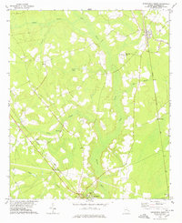
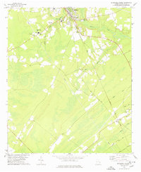
Editions of this 1958 Meldrim Map
4 editions found
Historical Maps of Savannah Through Time
33 maps found
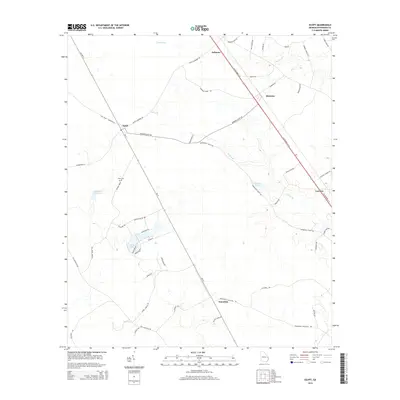
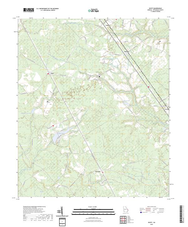
1919 Egypt
Effingham County, GA
1939 Egypt
Effingham County, GA
1943 Egypt
Effingham County, GA
1958 Meldrim
Effingham County, GA
1978 Egypt
Effingham County, GA
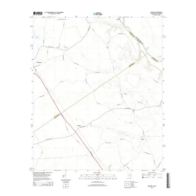
1978 Kildare
Effingham County, GA
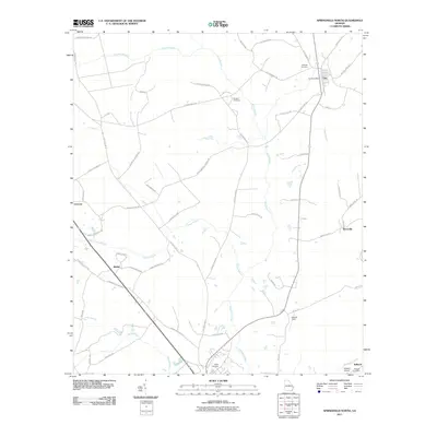
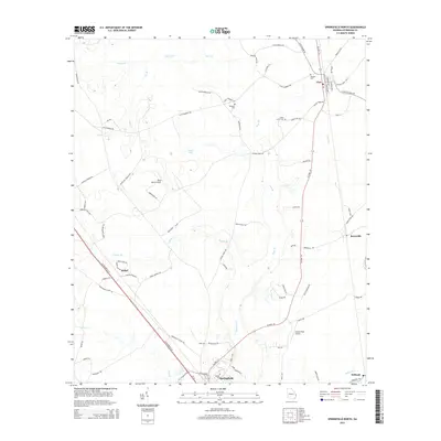
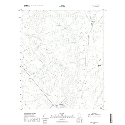
1978 Springfield North
Effingham County, GA
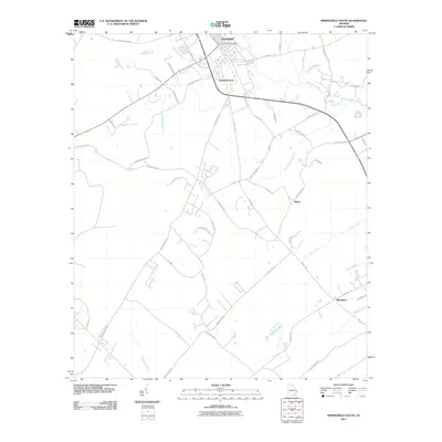
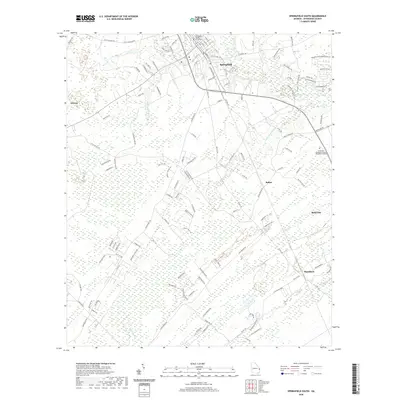
1978 Springfield South
Effingham County, GA
2011 Egypt
Effingham County, GA
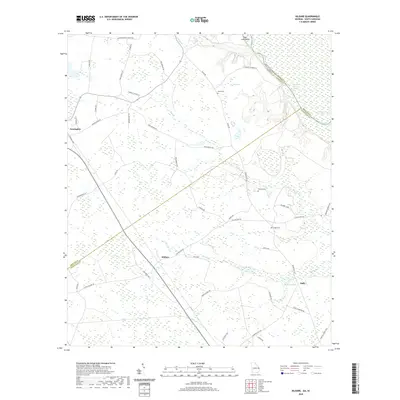
2011 Kildare
Effingham County, GA
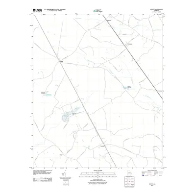
2011 Meldrim
Effingham County, GA
2011 Springfield North
Effingham County, GA
2011 Springfield South
Effingham County, GA
2014 Egypt
Effingham County, GA
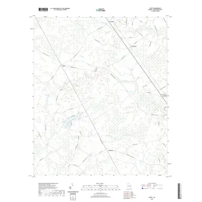
2014 Kildare
Effingham County, GA
2014 Meldrim
Effingham County, GA
2014 Springfield North
Effingham County, GA
2014 Springfield South
Effingham County, GA
2017 Egypt
Effingham County, GA
2017 Kildare
Effingham County, GA
2017 Meldrim
Effingham County, GA
2017 Springfield North
Effingham County, GA
2017 Springfield South
Effingham County, GA
2020 Egypt
Effingham County, GA
2020 Kildare
Effingham County, GA
2020 Meldrim
Effingham County, GA
2020 Springfield North
Effingham County, GA
2020 Springfield South
Effingham County, GA
2024 Egypt
Effingham County, GA
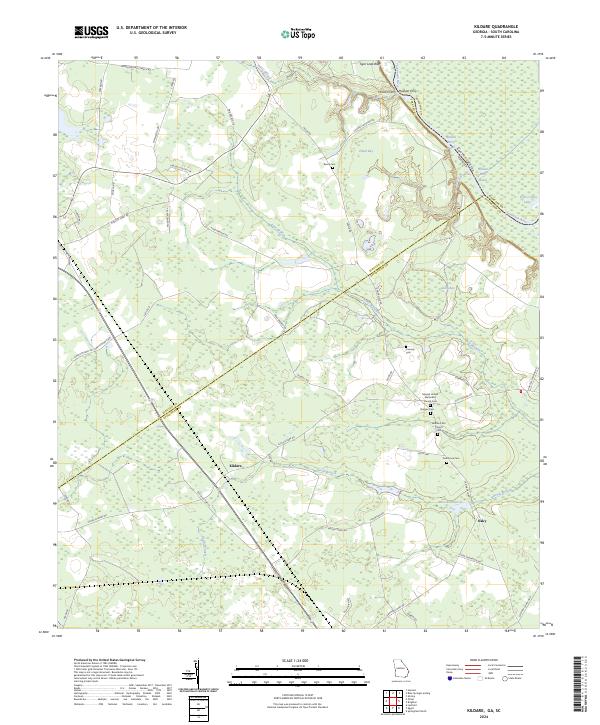
2024 Kildare
Effingham County, GA
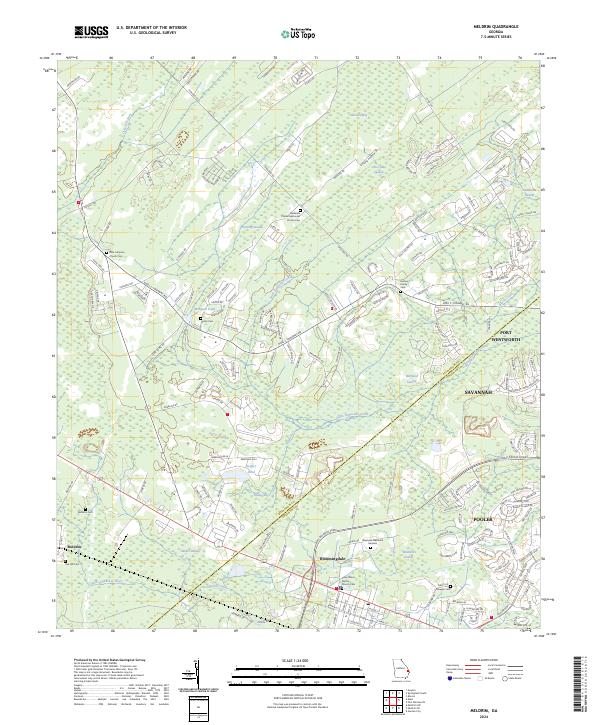
2024 Meldrim
Effingham County, GA
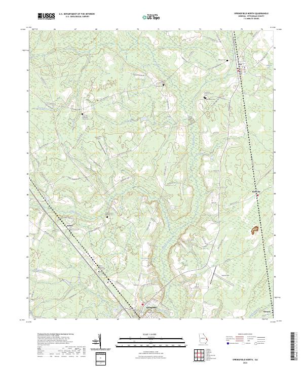
2024 Springfield North
Effingham County, GA
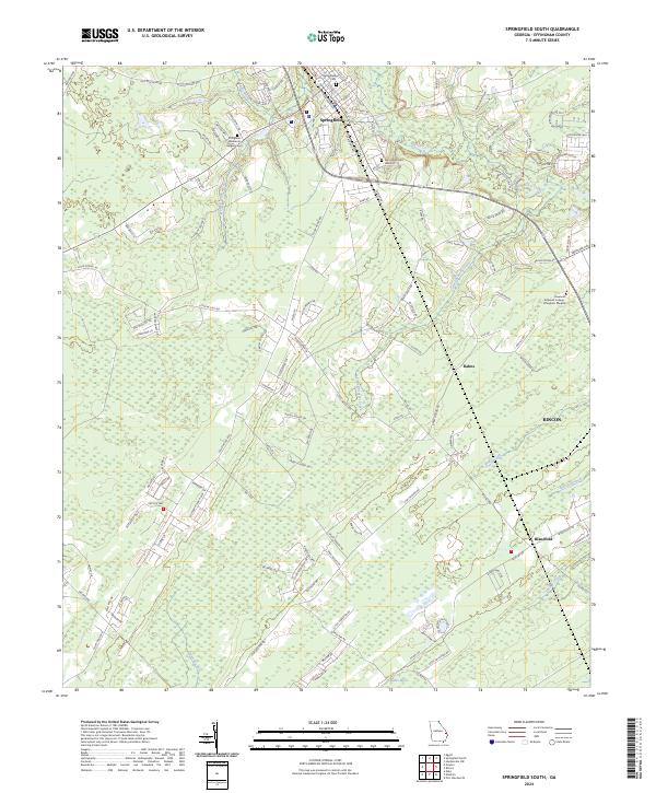
2024 Springfield South
Effingham County, GA