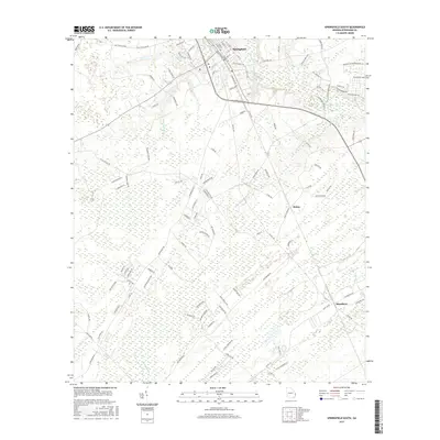
2017 Map of Springfield South
USGS Topo · Published 2017About this map
Springfield serves as the focal point for this Effingham County survey, where a grid of established streets like N Maple St and S Ash St meets the rural landscape of the Georgia coastal plain. The terrain is defined by an intricate network of wetlands and slow-moving water, including the winding course of Ebenezer Creek and the southern reaches of Skinners Bay. Small settlements such as Rahns and Blandford anchor the eastern portions of the map, connected by a web of local routes including Old Stillwell Rd and Mock Rd. The southwestern edge is bounded by the Ogeechee River, illustrating the river-and-swamp geography that has historically shaped movement and land use in this region. This modern topographic record captures the transition from traditional rural corridors to newer developments, seen in labels like Proposed Shadowbrook Ph V B, while preserving older local names like Old Tusculum Rd.
Find a feature on this map
115 named features on this map. Tap any name to fly to it.
Don’t see what you’re looking for? This feature index may not catch every label — zoom into the map to look around manually.
Map Details
Editions of this 2017 Springfield South Map
This is the sole edition of this map. No revisions or reprints were ever made.
Other maps of this area

1919 · Egypt
USGS Topo · 1:62,500

1920 · Hardeeville
USGS Topo · 1:62,500

1920 · Meldrim
USGS Topo · 1:62,500

1939 · Egypt
USGS Topo · 1:62,500

1942 · Meldrim
USGS Topo · 1:62,500

1942 · Savannah
USGS Topo · 1:62,500

1943 · Hardeeville
USGS Topo · 1:62,500

1943 · Egypt
USGS Topo · 1:62,500

1947 · Savannah
USGS Topo · 1:250,000

1948 · Savannah
USGS Topo · 1:250,000