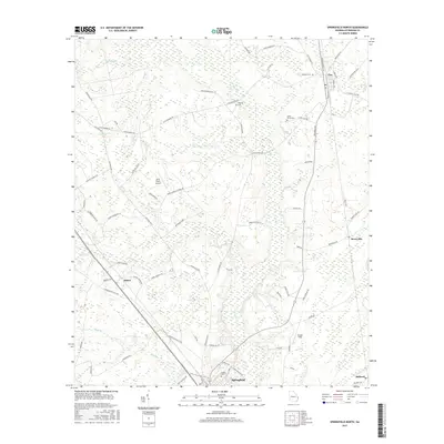
2017 Map of Springfield North
USGS Topo · Published 2017About this map
Clyo and Springfield anchor this portion of Effingham County, where the landscape is defined by the winding course of Ebenezer Cr and several tributary branches like Jacks Br and Cowpen Br. The survey reveals a rural network of family-named roads and landmarks, including Briar Patch Airport and numerous historic burial grounds such as Metzger Cem and Kieffer Cem.
Find a feature on this map
83 named features on this map. Tap any name to fly to it.
Don’t see what you’re looking for? This feature index may not catch every label — zoom into the map to look around manually.
Map Details
Editions of this 2017 Springfield North Map
This is the sole edition of this map. No revisions or reprints were ever made.
Other maps of this area

1919 · Pineland
USGS Topo · 1:62,500

1919 · Shirley
USGS Topo · 1:62,500

1919 · Egypt
USGS Topo · 1:62,500

1920 · Hardeeville
USGS Topo · 1:62,500

1939 · Egypt
USGS Topo · 1:62,500

1943 · Pineland
USGS Topo · 1:62,500

1943 · Hardeeville
USGS Topo · 1:62,500

1943 · Egypt
USGS Topo · 1:62,500

1943 · Shirley
USGS Topo · 1:62,500

1947 · Savannah
USGS Topo · 1:250,000