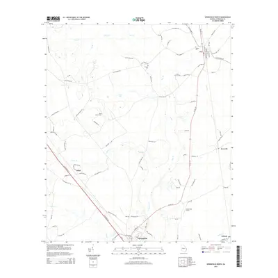
2014 Map of Springfield North
USGS Topo · Published 2014About this map
Clyo and the northern outskirts of Springfield anchor this Effingham County landscape, where the coastal plain is defined by a dense network of creek branches. The map highlights the rural character of the region, punctuated by local landmarks like Briar Patch Airport and family-centered history found at Metzger Cem and Wheeler Cem. The area south of Stillwell shows the low-lying terrain near Ebenezer Cr, while small settlements such as Bethel and Berryville are linked by a grid of farm-to-market roads like Clyo Shawnee Rd and Sisters Ferry Rd. This survey documents a quiet interior section of Georgia, preserving the locations of smaller residential clusters and aviation strips like Swaids Field Airport before further modern expansion changed the local geography.
Find a feature on this map
79 named features on this map. Tap any name to fly to it.
Don’t see what you’re looking for? This feature index may not catch every label — zoom into the map to look around manually.
Map Details
Editions of this 2014 Springfield North Map
This is the sole edition of this map. No revisions or reprints were ever made.
Other maps of this area

1919 · Pineland
USGS Topo · 1:62,500

1919 · Shirley
USGS Topo · 1:62,500

1919 · Egypt
USGS Topo · 1:62,500

1920 · Hardeeville
USGS Topo · 1:62,500

1939 · Egypt
USGS Topo · 1:62,500

1943 · Pineland
USGS Topo · 1:62,500

1943 · Hardeeville
USGS Topo · 1:62,500

1943 · Egypt
USGS Topo · 1:62,500

1943 · Shirley
USGS Topo · 1:62,500

1947 · Savannah
USGS Topo · 1:250,000