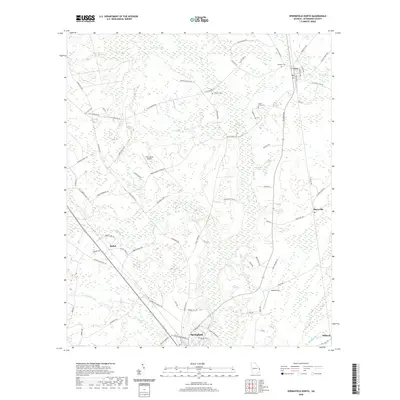
2020 Map of Springfield North
USGS Topo · Published 2020About this map
The northern reaches of Springfield and the surrounding Effingham County landscape are defined by a complex network of wetlands and creek branches. Waterways such as Ebenezer Cr, Turkey Br, and Jacks Br weave through the terrain, influencing the placement of early settlements and road networks. The map details small rural hubs including Clyo, Bethel, and Berryville, which are connected by historic routes like Sisters Ferry Rd and Old Dixie Hwy.
Find a feature on this map
79 named features on this map. Tap any name to fly to it.
Don’t see what you’re looking for? This feature index may not catch every label — zoom into the map to look around manually.
Map Details
Editions of this 2020 Springfield North Map
This is the sole edition of this map. No revisions or reprints were ever made.
Other maps of this area

1919 · Pineland
USGS Topo · 1:62,500

1919 · Shirley
USGS Topo · 1:62,500

1919 · Egypt
USGS Topo · 1:62,500

1920 · Hardeeville
USGS Topo · 1:62,500

1939 · Egypt
USGS Topo · 1:62,500

1943 · Pineland
USGS Topo · 1:62,500

1943 · Hardeeville
USGS Topo · 1:62,500

1943 · Egypt
USGS Topo · 1:62,500

1943 · Shirley
USGS Topo · 1:62,500

1947 · Savannah
USGS Topo · 1:250,000