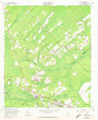
1958 Map of Meldrim
USGS Topo · Published 1972About this map
Walthour Swamp and a network of wetlands dominate this corner of the coastal plain, defining the settlement patterns of Effingham and Chatham counties. The towns of Meldrim and Bloomingdale anchor the southern portion of the sheet, developed along the vital corridors of the Central of Georgia and Seaboard Coast Line railroads. The map reveals a rural landscape where social life centered on small community institutions such as Marlow Sch, Bethesda Ch, and Zion Ch. These features, along with several family and community burial grounds like Gravel Hill Cem, provide a clear view of the mid-century Georgia interior before modern expansion. The hydrologic character of the region is evident in the many bays and branches, including Skinners Bay and Horning Swamp, which shaped the placement of local roads like Old St Augustine Road.
Find a feature on this map
34 named features on this map. Tap any name to fly to it.
Don’t see what you’re looking for? This feature index may not catch every label — zoom into the map to look around manually.
Map Details
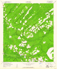
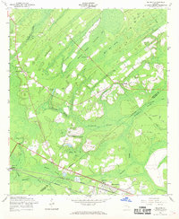
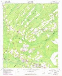
Editions of this 1958 Meldrim Map
4 editions found
Other maps of this area

1919 · Egypt
USGS Topo · 1:62,500

1920 · Hardeeville
USGS Topo · 1:62,500

1920 · Meldrim
USGS Topo · 1:62,500

1939 · Egypt
USGS Topo · 1:62,500

1942 · Meldrim
USGS Topo · 1:62,500

1942 · Savannah
USGS Topo · 1:62,500

1943 · Hardeeville
USGS Topo · 1:62,500

1943 · Egypt
USGS Topo · 1:62,500

1947 · Savannah
USGS Topo · 1:250,000

1948 · Savannah
USGS Topo · 1:250,000