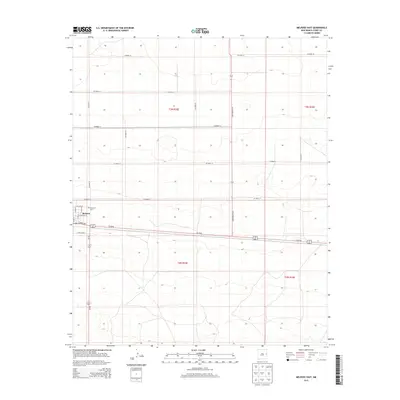
2013 Map of Melrose East
USGS Topo · Published 2013About this map
The village of Melrose and its surrounding agricultural plains in Curry County are captured in this 2013 survey, reflecting the grid-based land management of the Llano Estacado. The settlement is centered on streets such as E Center Ave and E Avenue A, while the larger landscape is defined by the rigid geometry of the Public Land Survey System, including townships t3n r32e and t3n r33e. Regional transit is anchored by the shared corridor of Us-60 84 and the north-south passage of State Route 224. Local history and genealogy are anchored at Memorial Cem, located on the eastern edge of the community. Outside the town limits, a vast network of numbered county roads like Co Road 16 and lettered routes like Co Road AI provide access to the expansive ranching and farming tracts that characterize this high plains region.
Find a feature on this map
21 named features on this map. Tap any name to fly to it.
Don’t see what you’re looking for? This feature index may not catch every label — zoom into the map to look around manually.
Map Details
Editions of this 2013 Melrose East Map
This is the sole edition of this map. No revisions or reprints were ever made.
Other maps of this area

1954 · Clovis
USGS Topo · 1:250,000

1957 · Portair
USGS Topo · 1:62,500

1957 · Melrose
USGS Topo · 1:62,500

1957 · Hammond Ranch
USGS Topo · 1:62,500

1958 · Clovis
USGS Topo · 1:250,000

1972 · Melrose East
USGS Topo · 1:24,000

1973 · Field SE
USGS Topo · 1:24,000

1973 · Melrose West
USGS Topo · 1:24,000

1973 · Tule Lake
USGS Topo · 1:24,000

1973 · Field SW
USGS Topo · 1:24,000