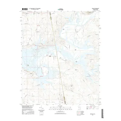
2017 Map of Melson
USGS Topo · Published 2017About this map
The Coosa River defines the central geography of this borderland survey, winding through a series of pronounced oxbows including Morton Bend, Foster Bend, and McGee Bend. These fertile river loops sit in contrast to the rising elevations of Heath Mtn in the north and Oliver Mtn to the south. The interstate boundary between Georgia and Alabama bisects the terrain, marked by the State Line Cem and a shift in county road designations between Floyd Co and Cherokee Co.
Find a feature on this map
80 named features on this map. Tap any name to fly to it.
Don’t see what you’re looking for? This feature index may not catch every label — zoom into the map to look around manually.
Map Details
Editions of this 2017 Melson Map
This is the sole edition of this map. No revisions or reprints were ever made.
Other maps of this area

1886 · Rome
USGS Topo · 1:125,000

1893 · Fort Payne
USGS Topo · 1:125,000

1898 · Rome
USGS Topo · 1:125,000

1898 · Fort Payne
USGS Topo · 1:125,000

1899 · Rome
USGS Topo · 1:125,000

1900 · Fort Payne
USGS Topo · 1:125,000

1904 · Rome
USGS Topo · 1:125,000

1955 · Rome
USGS Topo · 1:250,000

1958 · Rome
USGS Topo · 1:250,000

1961 · Rome
USGS Topo · 1:250,000