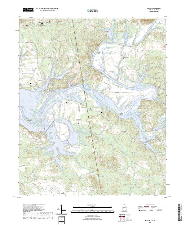
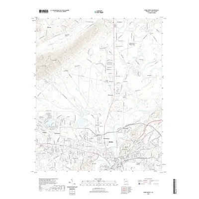
2024 Map of Melson
USGS Topo · Published 2024About this map
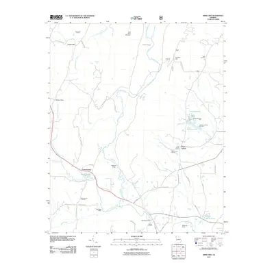
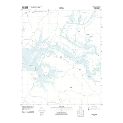
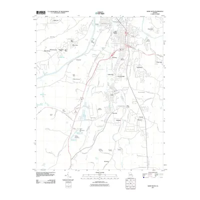
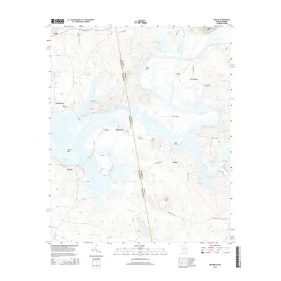
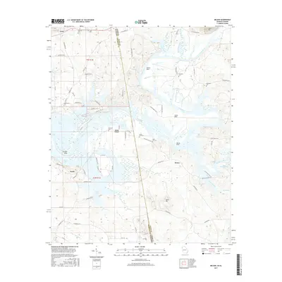
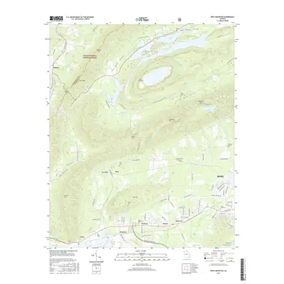
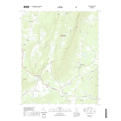
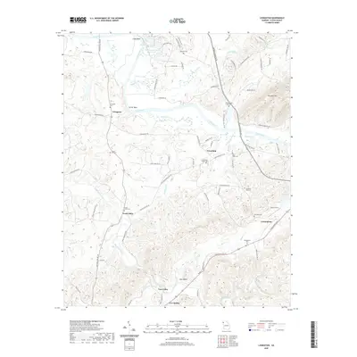
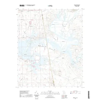
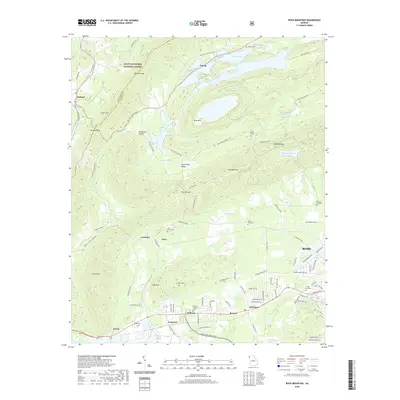
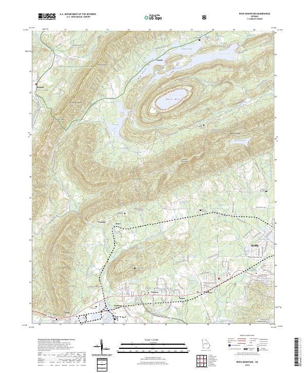
Weiss Lake dominates the central landscape of this border region where the Alabama and Georgia state lines meet. The Coosa River winds through dramatic meanders like Morton Bend, Foster Bend, and McGee Bend, shaping the development of small communities such as Kirks Grove and Melson. The presence of Perkins Ferry indicates the historical importance of river crossings before modern infrastructure.
Find a feature on this map
83 named features on this map. Tap any name to fly to it.
Don’t see what you’re looking for? This feature index may not catch every label — zoom into the map to look around manually.
Map Details
Editions of this 2024 Melson Map
This is the sole edition of this map. No revisions or reprints were ever made.
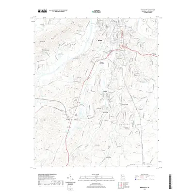
Historical Maps of Melson Through Time
42 maps found
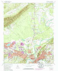
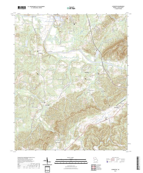
1967 Livingston
Floyd County, GA
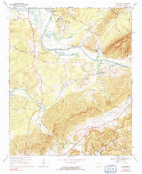
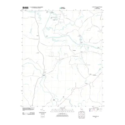
1967 Melson
Floyd County, GA
1967 Rock Mountain
Floyd County, GA
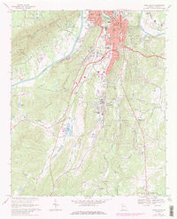
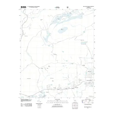
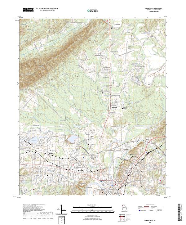
1967 Rome North
Floyd County, GA

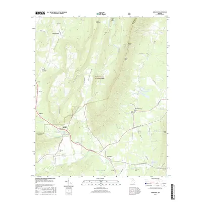
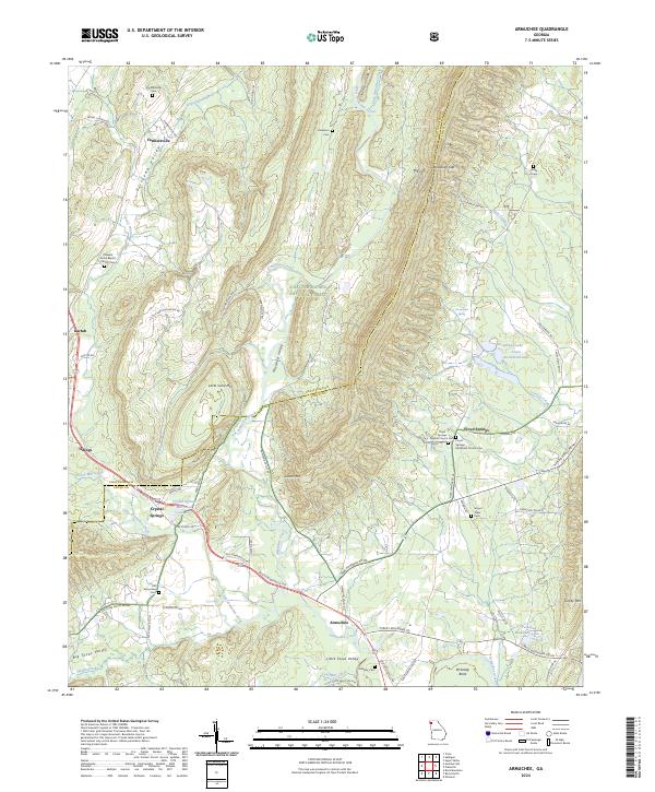
1968 Armuchee
Floyd County, GA
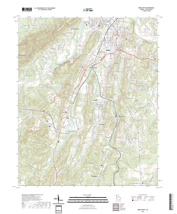
1968 Rome South
Floyd County, GA
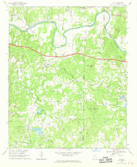
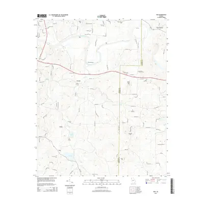
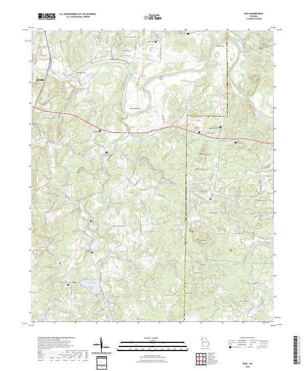
1968 Wax
Floyd County, GA
2011 Armuchee
Floyd County, GA
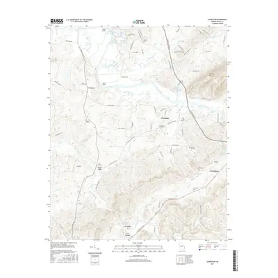
2011 Livingston
Floyd County, GA
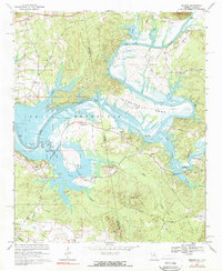
2011 Melson
Floyd County, GA
2011 Rock Mountain
Floyd County, GA
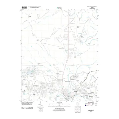
2011 Rome North
Floyd County, GA
2011 Rome South
Floyd County, GA
2011 Wax
Floyd County, GA
2014 Armuchee
Floyd County, GA
2014 Livingston
Floyd County, GA
2014 Melson
Floyd County, GA
2014 Rock Mountain
Floyd County, GA
2014 Rome North
Floyd County, GA
2014 Rome South
Floyd County, GA
2014 Wax
Floyd County, GA
2017 Armuchee
Floyd County, GA
2017 Livingston
Floyd County, GA
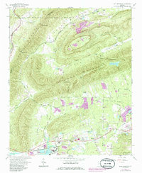
2017 Melson
Floyd County, GA
2017 Rock Mountain
Floyd County, GA
2017 Rome North
Floyd County, GA
2017 Rome South
Floyd County, GA
2017 Wax
Floyd County, GA
2020 Armuchee
Floyd County, GA
2020 Livingston
Floyd County, GA
2020 Melson
Floyd County, GA
2020 Rock Mountain
Floyd County, GA
2020 Rome North
Floyd County, GA
2020 Rome South
Floyd County, GA
2020 Wax
Floyd County, GA
2024 Armuchee
Floyd County, GA
2024 Livingston
Floyd County, GA
2024 Melson
Floyd County, GA
2024 Rock Mountain
Floyd County, GA
2024 Rome North
Floyd County, GA
2024 Rome South
Floyd County, GA
2024 Wax
Floyd County, GA