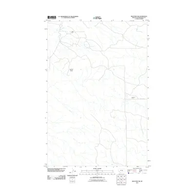
2011 Map of Melstone NW
USGS Topo · Published 2011About this map
The Ragged Point Oil Field and Keg Coulee Oil Field dominate this corner of Musselshell County, representing the persistent energy infrastructure of central Montana. The landscape is defined by the winding course of North Willow Creek and the localized water management of the Big Timber Number 53 Dam. Connectivity across this open range is provided by a network of gravel and local routes, most notably N Melstone Rd and Keg Coulee Rd. This survey reflects the industrial footprint of petroleum extraction within a traditional ranching environment, where drainage patterns and remote roadbeds dictate the movement of both resources and people.
Find a feature on this map
6 named features on this map. Tap any name to fly to it.
Don’t see what you’re looking for? This feature index may not catch every label — zoom into the map to look around manually.
Map Details
Editions of this 2011 Melstone NW Map
This is the sole edition of this map. No revisions or reprints were ever made.
Other maps of this area

1954 · Forsyth
USGS Topo · 1:250,000

1954 · Roundup
USGS Topo · 1:250,000

1957 · Forsyth
USGS Topo · 1:250,000

1958 · Roundup
USGS Topo · 1:250,000

1958 · Forsyth
USGS Topo · 1:250,000

1962 · Queens Point
USGS Topo · 1:24,000

1962 · Melstone NE
USGS Topo · 1:24,000

1962 · Maxwell Ranch
USGS Topo · 1:24,000

1962 · Melstone NW
USGS Topo · 1:24,000

1962 · Mosby SE
USGS Topo · 1:24,000