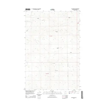
2014 Map of Melstone NW
USGS Topo · Published 2014About this map
The Ragged Point Oil Field and Keg Coulee Oil Field dominate this Musselshell County landscape, highlighting the industrial footprint of petroleum extraction in central Montana. This 2014 survey documents a network of rugged access ways including Ragged Point Rd and Keggy Coulee Rd that traverse a complex drainage system. The terrain is defined by numerous coulees, such as Seventynine Coulee, West Keggy Coulee, and Gremmert Coulee, which channel seasonal runoff toward N Willow Cr and Willow Cr. This map is particularly useful for understanding the intersection of natural topography and energy infrastructure, showing how local roads like N Melstone Rd navigate the corrugated surface of Butts Coulee and Wilson Coulee.
Find a feature on this map
17 named features on this map. Tap any name to fly to it.
Don’t see what you’re looking for? This feature index may not catch every label — zoom into the map to look around manually.
Map Details
Editions of this 2014 Melstone NW Map
This is the sole edition of this map. No revisions or reprints were ever made.
Other maps of this area

1954 · Forsyth
USGS Topo · 1:250,000

1954 · Roundup
USGS Topo · 1:250,000

1957 · Forsyth
USGS Topo · 1:250,000

1958 · Roundup
USGS Topo · 1:250,000

1958 · Forsyth
USGS Topo · 1:250,000

1962 · Queens Point
USGS Topo · 1:24,000

1962 · Melstone NE
USGS Topo · 1:24,000

1962 · Maxwell Ranch
USGS Topo · 1:24,000

1962 · Melstone NW
USGS Topo · 1:24,000

1962 · Mosby SE
USGS Topo · 1:24,000