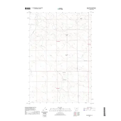
2020 Map of Melstone NW
USGS Topo · Published 2020About this map
N Willow Cr winds through the northwestern corner of this Musselshell County landscape, where the terrain is defined by a series of significant drainage features known locally as coulees. These topographical depressions, including Gremmert Coulee and Seventynine Coulee, reveal a complex watershed system that directs runoff across the high plains. The spatial arrangement of these features suggests a history of erosion and water management critical to the local cattle ranching and dryland farming economy of Montana. Navigation through this territory relies on a sparse network of county roads, such as Ragged Point Rd and N Melstone Rd, which follow the natural contours between the coulee breaks. Further south, Wilson Coulee and Butts Coulee mark the transition toward different township and range boundaries, illustrating the grid-based land partitioning common to the American West.
Find a feature on this map
13 named features on this map. Tap any name to fly to it.
Don’t see what you’re looking for? This feature index may not catch every label — zoom into the map to look around manually.
Map Details
Editions of this 2020 Melstone NW Map
This is the sole edition of this map. No revisions or reprints were ever made.
Other maps of this area

1954 · Forsyth
USGS Topo · 1:250,000

1954 · Roundup
USGS Topo · 1:250,000

1957 · Forsyth
USGS Topo · 1:250,000

1958 · Roundup
USGS Topo · 1:250,000

1958 · Forsyth
USGS Topo · 1:250,000

1962 · Queens Point
USGS Topo · 1:24,000

1962 · Melstone NE
USGS Topo · 1:24,000

1962 · Maxwell Ranch
USGS Topo · 1:24,000

1962 · Melstone NW
USGS Topo · 1:24,000

1962 · Mosby SE
USGS Topo · 1:24,000