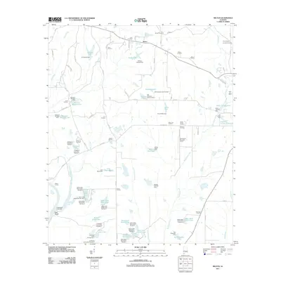
2011 Map of Melton
USGS Topo · Published 2011About this map
Melton and Port Royal anchor this rural landscape in Hale County, where the Black Warrior River defines the southwestern edge of the quadrangle. The terrain is characterized by an extensive system of man-made water bodies, notably the State Cattle Ranch Lakes and Bryars Junior Lakes, which reflect the region's agricultural and ranching infrastructure. These reservoirs are supported by numerous named structures like the State Cattle Ranch Dam Number 4 and Richard Poellnitz Dam, illustrating a highly managed hydrological environment.
Find a feature on this map
97 named features on this map. Tap any name to fly to it.
Don’t see what you’re looking for? This feature index may not catch every label — zoom into the map to look around manually.
Map Details
Editions of this 2011 Melton Map
This is the sole edition of this map. No revisions or reprints were ever made.
Other maps of this area

1927 · Eutaw
USGS Topo · 1:48,000

1931 · Eutaw
USGS Topo · 1:62,500

1946 · Demopolis
USGS Topo · 1:24,000

1947 · Demopolis
USGS Topo · 1:24,000

1947 · Mason Bend
USGS Topo · 1:24,000

1948 · Mason Bend
USGS Topo · 1:24,000

1953 · Montgomery
USGS Topo · 1:250,000

1956 · Montgomery
USGS Topo · 1:250,000

1957 · Montgomery
USGS Topo · 1:250,000

1979 · Greensboro
USGS Topo · 1:24,000