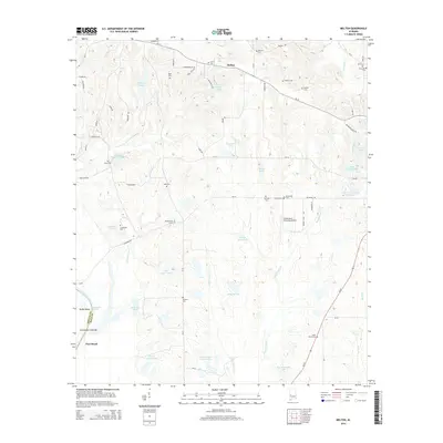
2014 Map of Melton
USGS Topo · Published 2014About this map
Melton sits at the intersection of local routes in this part of Hale County, serving as a quiet focal point in a landscape defined by its hydrology and small family burial grounds. The western edge of the quadrangle follows the Black Warrior River as it forms the border with Greene County, featuring geographic markers like Duffys Bend and the Limestone Creek Bar. The interior is dotted with numerous small bodies of water, many bearing family names such as Lelia Myers Lake, Jimmy Seale Lake, and the Sullivan Lakes. This 2014 survey reveals a dispersed settlement pattern where aviation at the Greensboro Municipal Airport and cattle ranching at the State Cattle Ranch Lakes coexist with a deep-rooted history. Genealogists will find a high density of small cemeteries, including Saint Pauls Cem, Martian Cem, and Ramey Cem, which underscore the multi-generational ties of families to this rural Alabama terrain.
Find a feature on this map
80 named features on this map. Tap any name to fly to it.
Don’t see what you’re looking for? This feature index may not catch every label — zoom into the map to look around manually.
Map Details
Editions of this 2014 Melton Map
This is the sole edition of this map. No revisions or reprints were ever made.
Other maps of this area

1927 · Eutaw
USGS Topo · 1:48,000

1931 · Eutaw
USGS Topo · 1:62,500

1946 · Demopolis
USGS Topo · 1:24,000

1947 · Demopolis
USGS Topo · 1:24,000

1947 · Mason Bend
USGS Topo · 1:24,000

1948 · Mason Bend
USGS Topo · 1:24,000

1953 · Montgomery
USGS Topo · 1:250,000

1956 · Montgomery
USGS Topo · 1:250,000

1957 · Montgomery
USGS Topo · 1:250,000

1979 · Greensboro
USGS Topo · 1:24,000