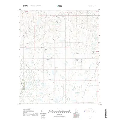
2020 Map of Melton
USGS Topo · Published 2020About this map
Melton sits at the northern edge of a landscape defined by the drainage of Limestone Cr and the Big German Cr. This modern survey reveals a complex network of private and municipal interests, anchored by the Greensboro Municipal Airport and the expansive State Cattle Ranch. The terrain is marked by numerous family and community burial grounds, such as Jerusalem Cem, Saint Pauls Cem, and Pickens Cem, which offer significant touchpoints for genealogical research in this part of Hale County. The western border follows a sharp meander of the river at Duffys Bend and Limestone Creek Bar, where the county line separates Greene and Hale. Smaller water bodies like Massey Lake and Jimmy Seale Lake are scattered across the interior, reflecting the agricultural and recreational character of the region.
Find a feature on this map
84 named features on this map. Tap any name to fly to it.
Don’t see what you’re looking for? This feature index may not catch every label — zoom into the map to look around manually.
Map Details
Editions of this 2020 Melton Map
This is the sole edition of this map. No revisions or reprints were ever made.
Other maps of this area

1927 · Eutaw
USGS Topo · 1:48,000

1931 · Eutaw
USGS Topo · 1:62,500

1946 · Demopolis
USGS Topo · 1:24,000

1947 · Demopolis
USGS Topo · 1:24,000

1947 · Mason Bend
USGS Topo · 1:24,000

1948 · Mason Bend
USGS Topo · 1:24,000

1953 · Montgomery
USGS Topo · 1:250,000

1956 · Montgomery
USGS Topo · 1:250,000

1957 · Montgomery
USGS Topo · 1:250,000

1979 · Greensboro
USGS Topo · 1:24,000