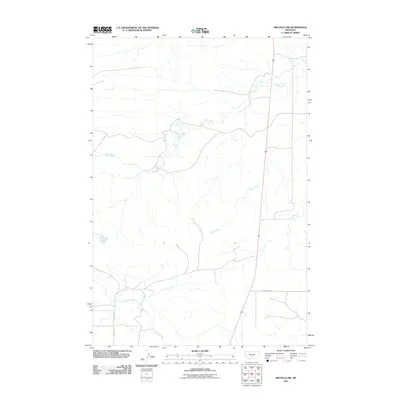
2011 Map of Melville NW
USGS Topo · Published 2011About this map
Fish Creek and Sadie Creek meander through this portion of Wheatland County, defining a landscape shaped by high-plains watercourses. The network of drainage shown here is central to the area's geography, with Cayuse Creek flowing through the southern reaches. A sparse but essential road system connects the territory, anchored by US Route 191 which cuts a straight north-south line across the map. Local routes such as Sourdough Rd, Melville Rd, and Cayuse Rd suggest the ranching and agricultural framework of the region, providing a 2011 record of the access points to this open Montana terrain.
Find a feature on this map
7 named features on this map. Tap any name to fly to it.
Don’t see what you’re looking for? This feature index may not catch every label — zoom into the map to look around manually.
Map Details
Editions of this 2011 Melville NW Map
This is the sole edition of this map. No revisions or reprints were ever made.
Other maps of this area

1886 · Little Belt Mts.
USGS Topo · 1:250,000

1889 · Big Snowy Mountain
USGS Topo · 1:250,000

1893 · Big Snowy Mountain
USGS Topo · 1:250,000

1894 · Little Belt Mts.
USGS Topo · 1:250,000

1897 · Little Belt Mts.
USGS Topo · 1:250,000

1898 · Little Belt Mts.
USGS Topo · 1:250,000

1902 · Little Belt Mts.
USGS Topo · 1:250,000

1948 · White Sulphur Springs
USGS Topo · 1:250,000

1954 · Roundup
USGS Topo · 1:250,000

1958 · Roundup
USGS Topo · 1:250,000