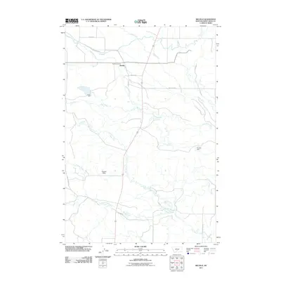
2011 Map of Melville
USGS Topo · Published 2011About this map
Melville serves as the focal point of this ranching landscape in Montana's Sweet Grass County, where the high plains meet the eastern approaches of the Crazy Mountains. The Melville Post Office sits at the heart of a network of local roads, including Melville Rd and Cremer Rd, which track the paths of local drainage systems. The hydrology of the area is defined by the braided courses of Sweet Grass Creek and its many tributaries, such as Billy Creek and Cayuse Creek, which are essential for the livestock operations that dominate this region.
Find a feature on this map
22 named features on this map. Tap any name to fly to it.
Don’t see what you’re looking for? This feature index may not catch every label — zoom into the map to look around manually.
Map Details
Editions of this 2011 Melville Map
This is the sole edition of this map. No revisions or reprints were ever made.
Other maps of this area
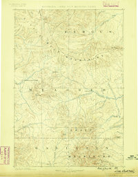
1886 · Little Belt Mts.
USGS Topo · 1:250,000
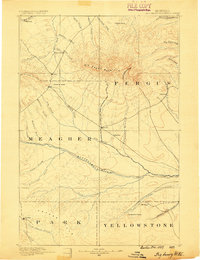
1889 · Big Snowy Mountain
USGS Topo · 1:250,000
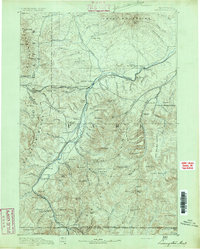
1891 · Livingston
USGS Topo · 1:250,000
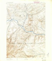
1891 · Big Timber
USGS Topo · 1:125,000
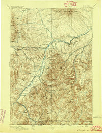
1893 · Livingston
USGS Topo · 1:250,000
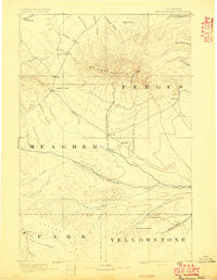
1893 · Big Snowy Mountain
USGS Topo · 1:250,000
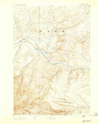
1893 · Big Timber
USGS Topo · 1:125,000
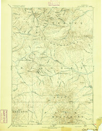
1894 · Little Belt Mts.
USGS Topo · 1:250,000
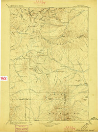
1897 · Little Belt Mts.
USGS Topo · 1:250,000
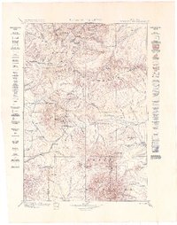
1898 · Little Belt Mts.
USGS Topo · 1:250,000