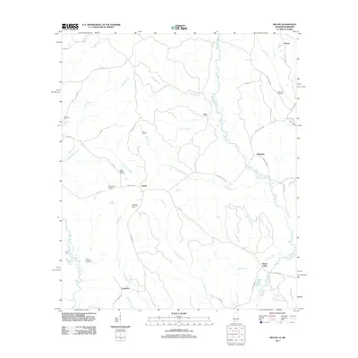
2011 Map of Melvin
USGS Topo · Published 2011About this map
Melvin Oil Field and the Bucatunna Creek Oil Field define the industrial landscape of this Choctaw County region, where petroleum extraction sits alongside deeply rooted rural communities. The settlement of Melvin serves as a central point, surrounded by family-named landmarks and several churchyards including Zion Chapel Cemetery and Mount Pisgah Cemetery. The drainage patterns are significant here, with Okatuppa Creek and Biddys Creek carving through the terrain towards the East Langsdale Oil Field in the southwest corner. The network of county roads, such as CO Hwy 14 and Co RD 630, connects smaller locales like Evansboro and Water Valley, illustrating a settlement pattern that balances timber and mineral interests with established residential pockets.
Find a feature on this map
52 named features on this map. Tap any name to fly to it.
Don’t see what you’re looking for? This feature index may not catch every label — zoom into the map to look around manually.
Map Details
Editions of this 2011 Melvin Map
This is the sole edition of this map. No revisions or reprints were ever made.
Other maps of this area

1953 · Hattiesburg
USGS Topo · 1:250,000

1953 · Meridian
USGS Topo · 1:250,000

1957 · Meridian
USGS Topo · 1:250,000

1957 · Quitman
USGS Topo · 1:62,500

1958 · Hattiesburg
USGS Topo · 1:250,000

1964 · Carmichael
USGS Topo · 1:24,000

1964 · Matherville
USGS Topo · 1:24,000

1965 · Meridian
USGS Topo · 1:250,000

1974 · Melvin
USGS Topo · 1:24,000

1974 · Silas
USGS Topo · 1:24,000