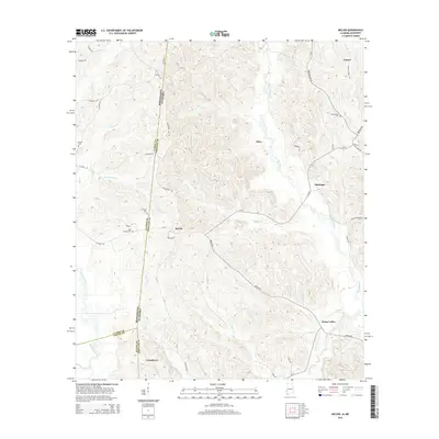
2014 Map of Melvin
USGS Topo · Published 2014About this map
Evansboro and Melvin anchor this 2014 survey of the borderlands between Alabama and Mississippi. The terrain is defined by a dense network of drainage, where Okatuppa Creek and Puss Cuss Creek carve through the landscape alongside smaller tributaries like Biddys Cr and Negro Cr. This border region, spanning the lines of Clarke, Choctaw, and Wayne counties, maintains a rural character centered on timber and small settlements.
Find a feature on this map
63 named features on this map. Tap any name to fly to it.
Don’t see what you’re looking for? This feature index may not catch every label — zoom into the map to look around manually.
Map Details
Editions of this 2014 Melvin Map
This is the sole edition of this map. No revisions or reprints were ever made.
Other maps of this area

1953 · Hattiesburg
USGS Topo · 1:250,000

1953 · Meridian
USGS Topo · 1:250,000

1957 · Meridian
USGS Topo · 1:250,000

1957 · Quitman
USGS Topo · 1:62,500

1958 · Hattiesburg
USGS Topo · 1:250,000

1964 · Carmichael
USGS Topo · 1:24,000

1964 · Matherville
USGS Topo · 1:24,000

1965 · Meridian
USGS Topo · 1:250,000

1974 · Melvin
USGS Topo · 1:24,000

1974 · Silas
USGS Topo · 1:24,000