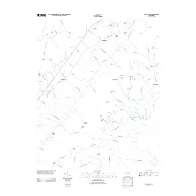
2013 Map of Melvine
USGS Topo · Published 2013About this map
The Sequatchie River valley defines the central landscape of this 2013 survey, where small communities like Melvine, Ninemile, and Litton are connected by the path of Old State Highway 28. The terrain transitions sharply from the agricultural flats of Frazier Bottoms to the high ground of Cross Mountain and Cedar Ridge. Family history is preserved across the landscape in sites such as Worthington Cemetery and Lester Cemetery, while the aviation footprint of Austin Field Airport sits just north of the Melvine crossroads.
Find a feature on this map
128 named features on this map. Tap any name to fly to it.
Don’t see what you’re looking for? This feature index may not catch every label — zoom into the map to look around manually.
Map Details
Editions of this 2013 Melvine Map
This is the sole edition of this map. No revisions or reprints were ever made.
Other maps of this area

1887 · Kingston
USGS Topo · 1:125,000

1891 · Kingston
USGS Topo · 1:125,000

1892 · Pikeville
USGS Topo · 1:125,000

1893 · Kingston
USGS Topo · 1:125,000

1895 · Pikeville
USGS Topo · 1:125,000

1909 · Sequatchie Valley
USGS Topo · 1:62,500

1910 · Pikeville
USGS Topo · 1:62,500

1912 · Crossville
USGS Topo · 1:62,500

1935 · Melvine
USGS Topo · 1:24,000

1935 · Morgan Springs
USGS Topo · 1:24,000