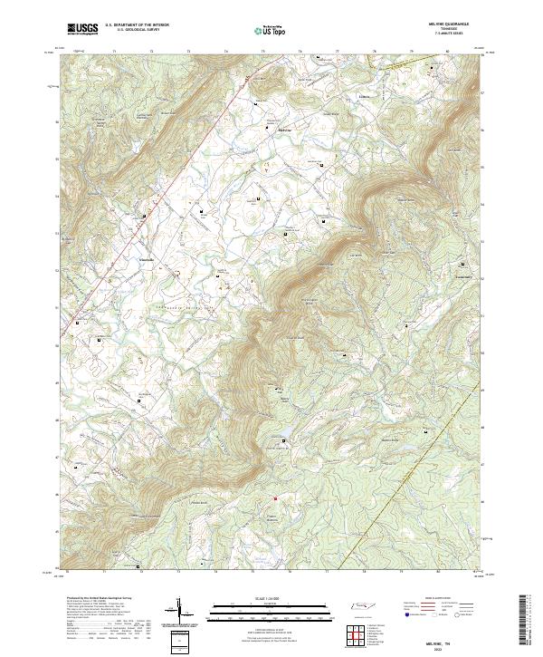
2022 Map of Melvine
USGS Topo · Published 2022About this map
The Sequatchie Valley floor is the primary corridor of settlement in this part of Bledsoe County, where the Sequatchie River flows between the high plateaus of the Cumberland Escarpment and Walden Ridge. Small rural communities like Melvine, Litton, and Ninemile follow the path of Old State Hwy 28, while the uplands remain defined by gaps and coves such as Worthington Cove and Pollard Cove. The map is particularly dense with family-named burial sites, including the Swafford Chapel Cem, Gentry Cem, and Thurman Cem Number 1, reflecting a deeply rooted genealogy in the valley. This landscape illustrates a traditional Appalachian settlement pattern where agricultural life and transit are hemmed in by the massive sandstone ridges of the Cumberland Plateau.
Find a feature on this map
139 named features on this map. Tap any name to fly to it.
Don’t see what you’re looking for? This feature index may not catch every label — zoom into the map to look around manually.
Map Details
Editions of this 2022 Melvine Map
This is the sole edition of this map. No revisions or reprints were ever made.
Other maps of this area

1887 · Kingston
USGS Topo · 1:125,000

1891 · Kingston
USGS Topo · 1:125,000

1892 · Pikeville
USGS Topo · 1:125,000

1893 · Kingston
USGS Topo · 1:125,000

1895 · Pikeville
USGS Topo · 1:125,000

1909 · Sequatchie Valley
USGS Topo · 1:62,500

1910 · Pikeville
USGS Topo · 1:62,500

1912 · Crossville
USGS Topo · 1:62,500

1935 · Melvine
USGS Topo · 1:24,000

1935 · Morgan Springs
USGS Topo · 1:24,000