
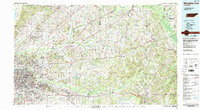
1986 Map of Memphis East
USGS Topo · Published 1986About this map
The Mississippi River defines the western edge of this West Tennessee landscape, where the urban expansion of Memphis meets the bottomlands of the Hatchie River. In the mid-1980s, the region shows a complex mix of industrial infrastructure and preserved natural spaces, from the sprawling U S Naval Air Station to the protected wetlands of the Hatchie National Wildlife Refuge. The drainage patterns of the Loosahatchie River and Wolf River dominate the interior, punctuated by established rural centers like Somerville and Mason.
Find a feature on this map
121 named features on this map. Tap any name to fly to it.
Don’t see what you’re looking for? This feature index may not catch every label — zoom into the map to look around manually.
Map Details
Editions of this 1986 Memphis East Map
2 editions found
Historical Maps of Memphis Through Time
25 maps found
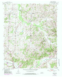
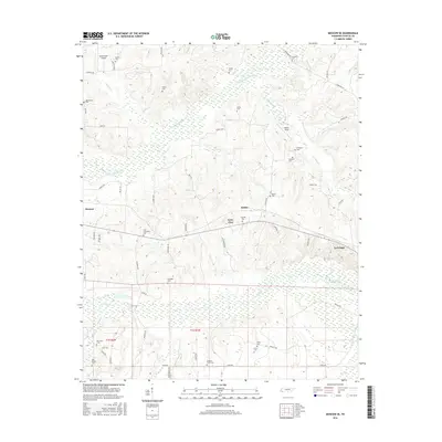
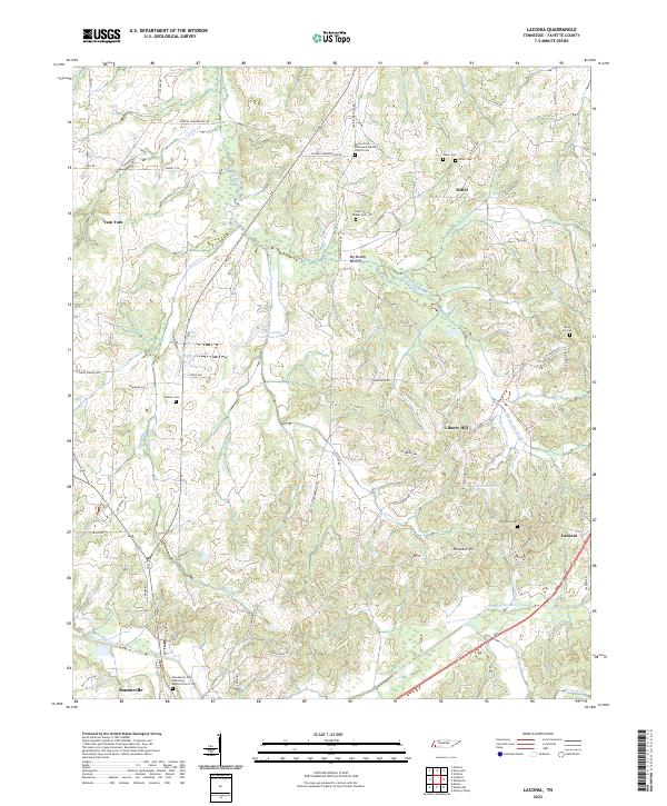
1952 Laconia
Fayette County, TN
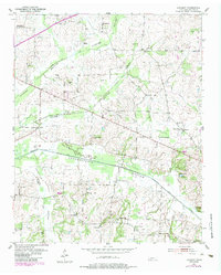
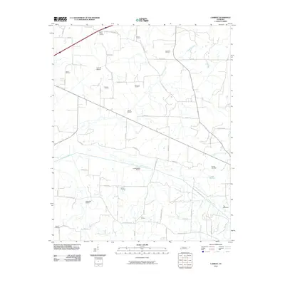
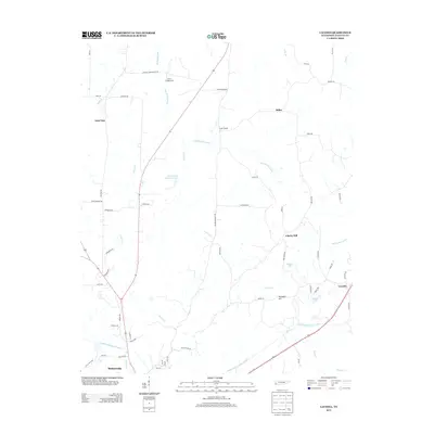
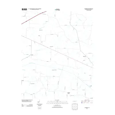
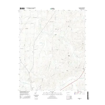
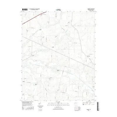
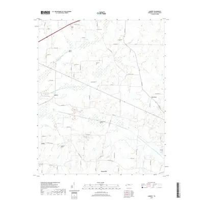
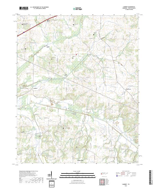
1952 Lambert
Fayette County, TN
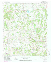
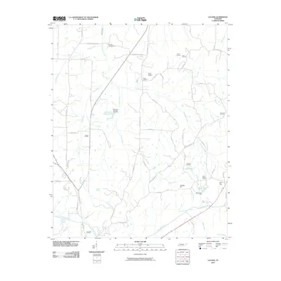
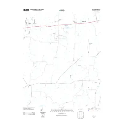
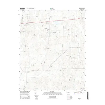
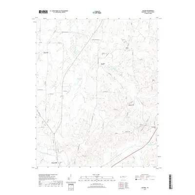
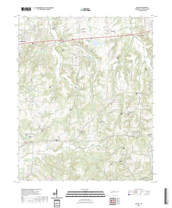
1965 Macon
Fayette County, TN
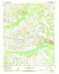
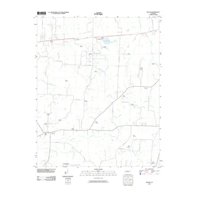
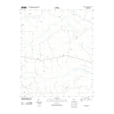
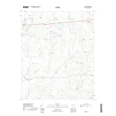
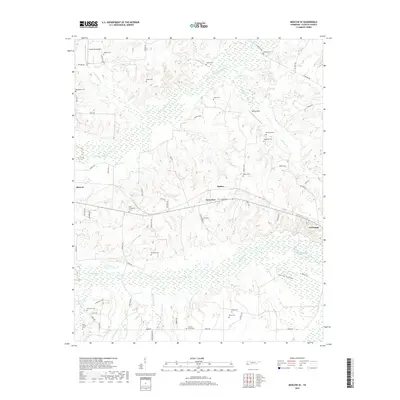
1965 Moscow SE
Fayette County, TN
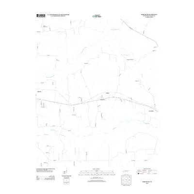
1986 Memphis East
Fayette County, TN
2010 Laconia
Fayette County, TN
2010 Lambert
Fayette County, TN
2010 Macon
Fayette County, TN
2010 Moscow SE
Fayette County, TN
2013 Laconia
Fayette County, TN
2013 Lambert
Fayette County, TN
2013 Macon
Fayette County, TN
2013 Moscow SE
Fayette County, TN
2016 Laconia
Fayette County, TN
2016 Lambert
Fayette County, TN
2016 Macon
Fayette County, TN
2016 Moscow SE
Fayette County, TN
2019 Laconia
Fayette County, TN
2019 Lambert
Fayette County, TN
2019 Macon
Fayette County, TN
2019 Moscow SE
Fayette County, TN
2022 Laconia
Fayette County, TN
2022 Lambert
Fayette County, TN
2022 Macon
Fayette County, TN
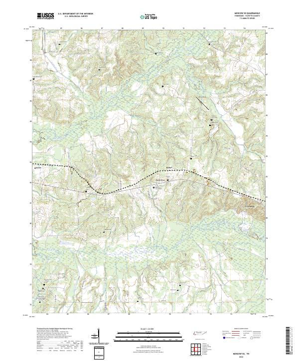
2022 Moscow SE
Fayette County, TN