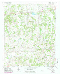
1965 Map of Macon
USGS Topo · Published 1983About this map
Macon and Williston anchor this corner of Fayette County, where the landscape is defined by the winding paths of Shaws Creek and Hargis Creek. The 1960s survey, updated with 1980s data, reveals a deeply established rural community marked by numerous family and community burial grounds, such as Granbery Cem and Macon Cem. Education and faith served as the social backbone of the area, evidenced by the presence of Mosby Sch and Spring Hill Ch.
Find a feature on this map
36 named features on this map. Tap any name to fly to it.
Don’t see what you’re looking for? This feature index may not catch every label — zoom into the map to look around manually.
Map Details
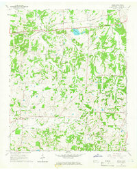
Editions of this 1965 Macon Map
2 editions found
Other maps of this area

1943 · Collierville
USGS Topo · 1:62,500

1949 · Moscow
USGS Topo · 1:62,500

1952 · Lambert
USGS Topo · 1:24,000

1952 · Laconia
USGS Topo · 1:24,000

1952 · Stanton
USGS Topo · 1:62,500

1953 · Collierville
USGS Topo · 1:50,000

1954 · Mason
USGS Topo · 1:62,500

1956 · Blytheville
USGS Topo · 1:250,000

1959 · Blytheville
USGS Topo · 1:250,000

1965 · Rossville
USGS Topo · 1:24,000