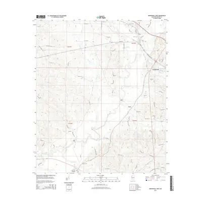
2015 Map of Mendenhall West
USGS Topo · Published 2015About this map
The Strong River winds south through the heart of Simpson County, defining the rural landscape of central Mississippi. Small communities like Merit and Pinola anchor the southern reaches, while the northern edge of the map features the more established settlements of Mendenhall and D'Lo. Local heritage is preserved in sites such as Bishop Cem, Merit Cem, and D'Lo Cem, providing points of interest for genealogical research. The river's influence is seen in the infrastructure required to navigate it, notably at Cable Bridge and Scotts Bridge. Numerous tributaries, including Westville Cr and Gowan Br, drain into the primary river system, creating a network of ridges and basins characterized by names like Boggan Ridge Rd. The map documents a blend of residential pockets and forest land, connected by a web of local routes such as Merit Welch Rd and Ainsworth Rd.
Find a feature on this map
78 named features on this map. Tap any name to fly to it.
Don’t see what you’re looking for? This feature index may not catch every label — zoom into the map to look around manually.
Map Details
Editions of this 2015 Mendenhall West Map
This is the sole edition of this map. No revisions or reprints were ever made.
Other maps of this area

1903 · Jackson
USGS Topo · 1:125,000

1906 · Florence
USGS Topo · 1:62,500

1908 · Florence
USGS Topo · 1:62,500

1953 · Hattiesburg
USGS Topo · 1:250,000

1953 · Meridian
USGS Topo · 1:250,000

1953 · Natchez
USGS Topo · 1:250,000

1955 · Jackson
USGS Topo · 1:250,000

1956 · Natchez
USGS Topo · 1:250,000

1957 · Meridian
USGS Topo · 1:250,000

1958 · Hattiesburg
USGS Topo · 1:250,000