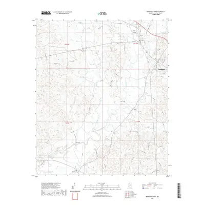
2020 Map of Mendenhall West
USGS Topo · Published 2020About this map
The Strong River winds through the heart of this Simpson County landscape, shaping the local geography between the established communities of Mendenhall and D'Lo. In this 2020 edition, the river's influence on the transport network is evident at historically significant crossing points like Scotts Bridge and the Cable Bridge. The map details a rural-to-suburban transition, where family-named roads like Buddy Jones Rd and Woodrow Barnes Rd link smaller settlements such as Merit and Pinola.
Find a feature on this map
74 named features on this map. Tap any name to fly to it.
Don’t see what you’re looking for? This feature index may not catch every label — zoom into the map to look around manually.
Map Details
Editions of this 2020 Mendenhall West Map
This is the sole edition of this map. No revisions or reprints were ever made.
Other maps of this area

1903 · Jackson
USGS Topo · 1:125,000

1906 · Florence
USGS Topo · 1:62,500

1908 · Florence
USGS Topo · 1:62,500

1953 · Hattiesburg
USGS Topo · 1:250,000

1953 · Meridian
USGS Topo · 1:250,000

1953 · Natchez
USGS Topo · 1:250,000

1955 · Jackson
USGS Topo · 1:250,000

1956 · Natchez
USGS Topo · 1:250,000

1957 · Meridian
USGS Topo · 1:250,000

1958 · Hattiesburg
USGS Topo · 1:250,000