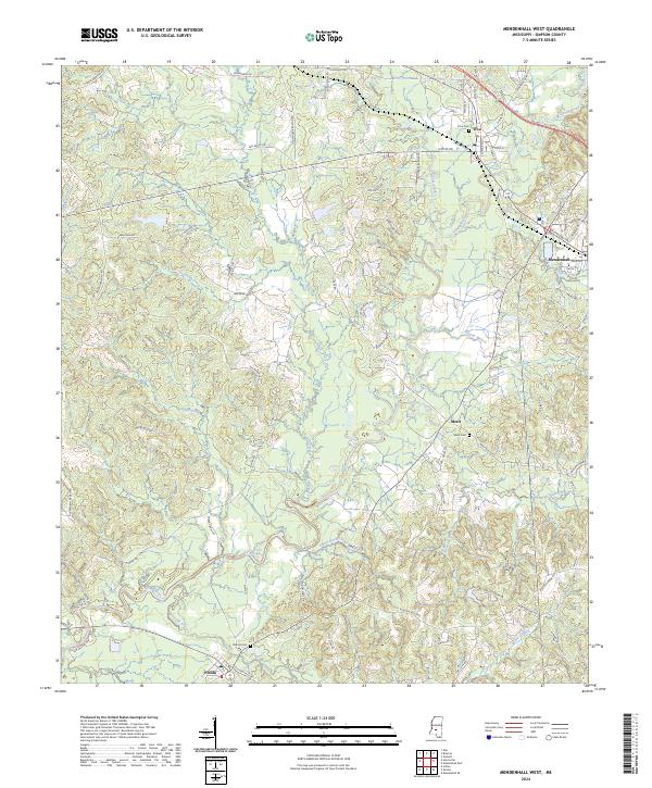
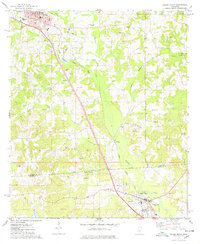
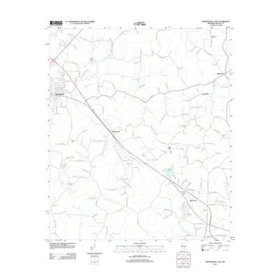
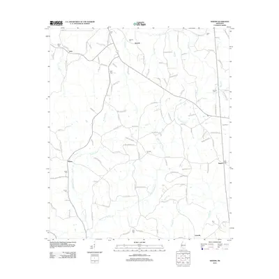
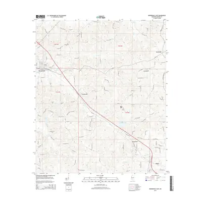
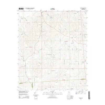
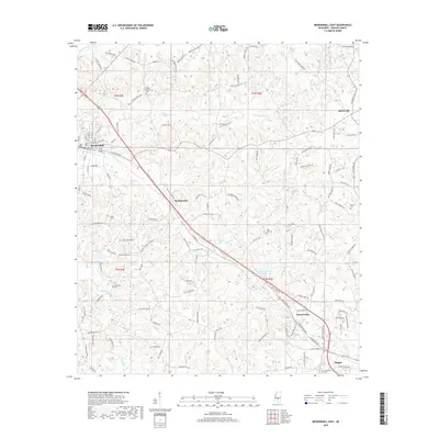
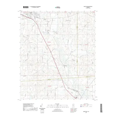
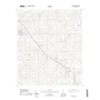
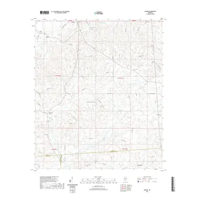
2024 Map of Mendenhall West
USGS Topo · Published 2024About this map
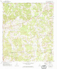
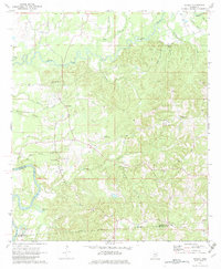
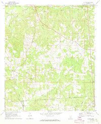
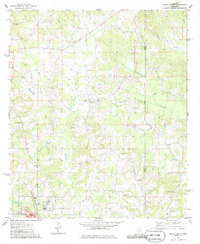
The Strong River snakes through this portion of Simpson County, anchoring a landscape defined by small rural hubs and an intricate network of waterways. Mendenhall serves as a primary center of activity, connected to the nearby settlement of D'Lo along the northern reaches of the river. The area's history is preserved in several local burial grounds, including D'Lo Cem, Merit Cem, and Bishop Cem, which offer significant value for genealogical research in this part of Mississippi.
Find a feature on this map
87 named features on this map. Tap any name to fly to it.
Don’t see what you’re looking for? This feature index may not catch every label — zoom into the map to look around manually.
Map Details
Editions of this 2024 Mendenhall West Map
This is the sole edition of this map. No revisions or reprints were ever made.
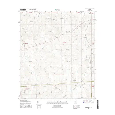
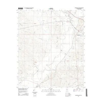
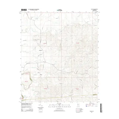
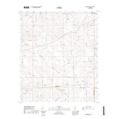
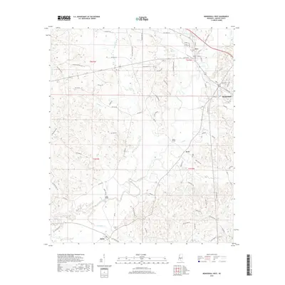
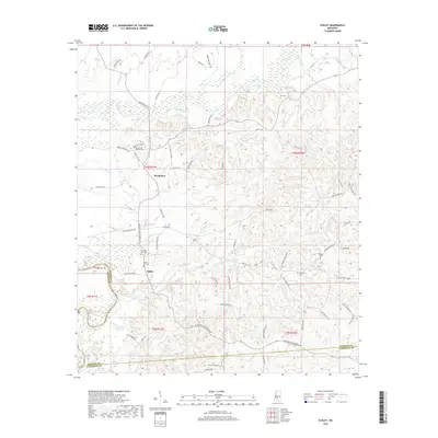
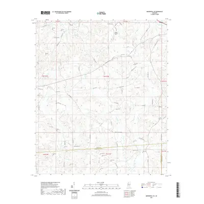
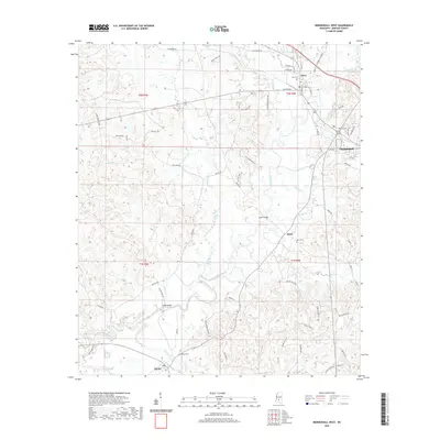
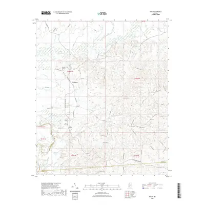
Historical Maps of Mendenhall Through Time
48 maps found
1970 Harrisville
Simpson County, MS
1970 Mendenhall East
Simpson County, MS
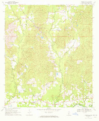
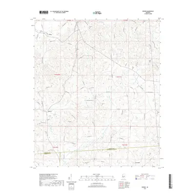
1970 Mendenhall West
Simpson County, MS
1971 Mendenhall SE
Simpson County, MS
1971 Schley
Simpson County, MS
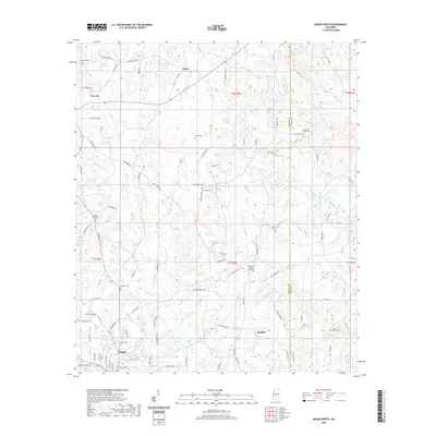
1971 Shivers
Simpson County, MS
1975 Magee North
Simpson County, MS
1975 Magee South
Simpson County, MS
2012 Harrisville
Simpson County, MS
2012 Magee North
Simpson County, MS
2012 Magee South
Simpson County, MS
2012 Mendenhall East
Simpson County, MS
2012 Mendenhall SE
Simpson County, MS
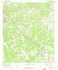
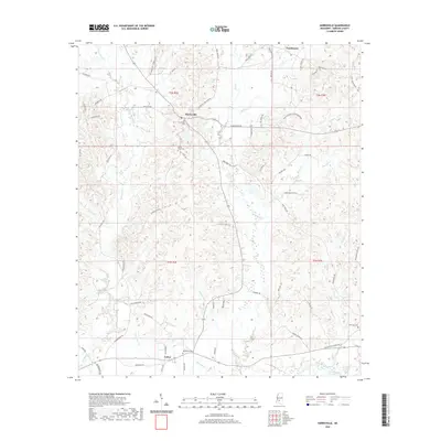
2012 Mendenhall West
Simpson County, MS
2012 Schley
Simpson County, MS
2012 Shivers
Simpson County, MS
2015 Harrisville
Simpson County, MS
2015 Magee North
Simpson County, MS
2015 Magee South
Simpson County, MS
2015 Mendenhall East
Simpson County, MS
2015 Mendenhall SE
Simpson County, MS
2015 Mendenhall West
Simpson County, MS
2015 Schley
Simpson County, MS
2015 Shivers
Simpson County, MS
2018 Harrisville
Simpson County, MS
2018 Magee North
Simpson County, MS
2018 Magee South
Simpson County, MS
2018 Mendenhall East
Simpson County, MS
2018 Mendenhall SE
Simpson County, MS
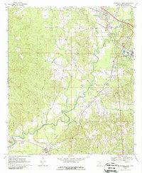
2018 Mendenhall West
Simpson County, MS
2018 Schley
Simpson County, MS
2018 Shivers
Simpson County, MS
2020 Harrisville
Simpson County, MS
2020 Magee North
Simpson County, MS
2020 Magee South
Simpson County, MS
2020 Mendenhall East
Simpson County, MS
2020 Mendenhall SE
Simpson County, MS
2020 Mendenhall West
Simpson County, MS
2020 Schley
Simpson County, MS
2020 Shivers
Simpson County, MS
2024 Harrisville
Simpson County, MS
2024 Magee North
Simpson County, MS
2024 Magee South
Simpson County, MS
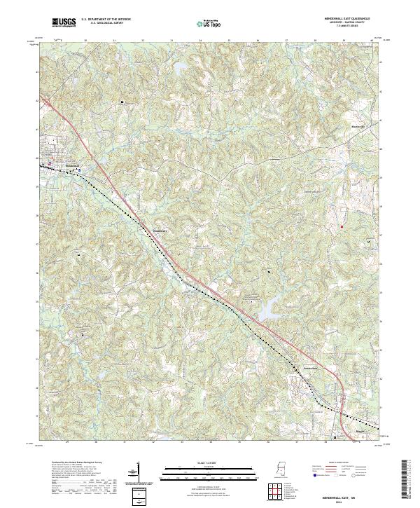
2024 Mendenhall East
Simpson County, MS
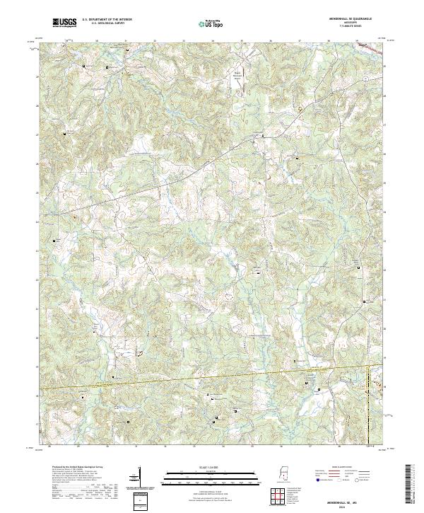
2024 Mendenhall SE
Simpson County, MS
2024 Mendenhall West
Simpson County, MS
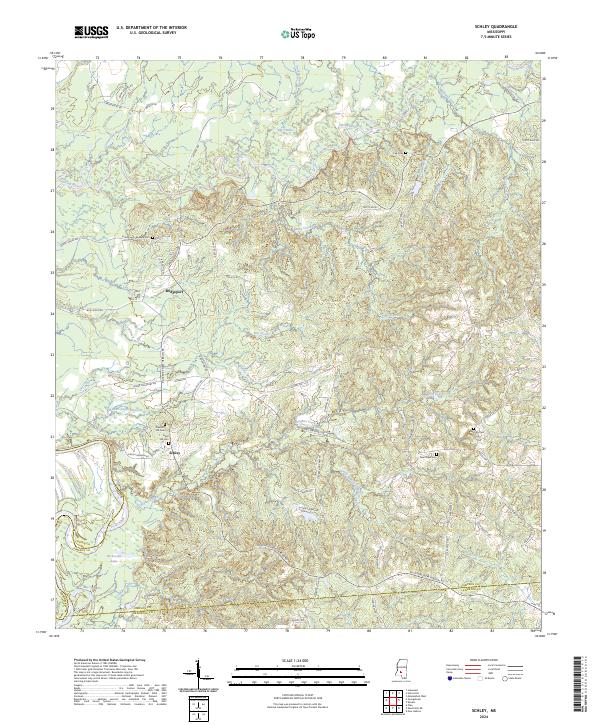
2024 Schley
Simpson County, MS
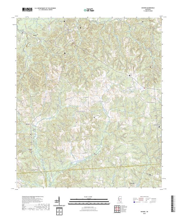
2024 Shivers
Simpson County, MS