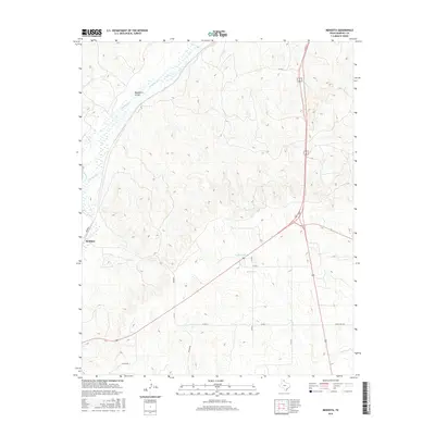
2016 Map of Mendota
USGS Topo · Published 2016About this map
Mendota serves as the focal point for this landscape in Hemphill County, where the high plains of the Texas Panhandle are cut by a complex drainage system. The settlement sits at the junction of several rural routes including Co Rd 4, while the surrounding terrain is defined by the ephemeral flows of Red Deer Cr, Simmons Cr, and the distinctive Washburn Arroyo. This 2016 survey illustrates the intersection of traditional ranching geography and modern energy infrastructure, specifically noting a Gas Plant in the southwestern quadrant. Further east, the topography shifts toward the depressions of Abraham Lake and the winding paths of Major Cr and Elk Cr. The map's detail provides a clear view of how local transportation, like Ranch Rd 3044, adapts to the area's natural creek beds and intermittent water features.
Find a feature on this map
18 named features on this map. Tap any name to fly to it.
Don’t see what you’re looking for? This feature index may not catch every label — zoom into the map to look around manually.
Map Details
Editions of this 2016 Mendota Map
This is the sole edition of this map. No revisions or reprints were ever made.
Other maps of this area

1954 · Amarillo
USGS Topo · 1:250,000

1958 · Amarillo
USGS Topo · 1:250,000

1967 · Mendota
USGS Topo · 1:24,000

1967 · Dads Creek
USGS Topo · 1:24,000

1967 · Young Ranch
USGS Topo · 1:24,000

1967 · Canadian SE
USGS Topo · 1:24,000

1967 · Lora
USGS Topo · 1:24,000

1972 · Washburn Arroyo
USGS Topo · 1:24,000

1972 · Canadian West
USGS Topo · 1:24,000

1972 · East Dry Creek
USGS Topo · 1:24,000