
1979 Map of Menlo
USGS Topo · Published 1979About this map
Menlo sits at the northern edge of this High Plains landscape, defined by its position along the Union Pacific railroad. The town's grid is small but distinct, situated just south of the Menlo Cem and west of the Thomas and Sheridan County line. Agriculture and infrastructure dominate the region, with numerous irrigation wells and a large Feedlot appearing on the eastern side of the survey area.
Find a feature on this map
14 named features on this map. Tap any name to fly to it.
Don’t see what you’re looking for? This feature index may not catch every label — zoom into the map to look around manually.
Map Details
Editions of this 1979 Menlo Map
This is the sole edition of this map. No revisions or reprints were ever made.
Other maps of this area

1954 · Goodland
USGS Topo · 1:250,000

1956 · Goodland
USGS Topo · 1:250,000

1957 · Goodland
USGS Topo · 1:250,000

1979 · Rexford
USGS Topo · 1:24,000
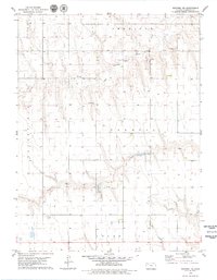
1979 · Rexford NE
USGS Topo · 1:24,000

1979 · Grinnell NE
USGS Topo · 1:24,000

1979 · Oakley North
USGS Topo · 1:24,000
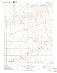
1979 · Breton
USGS Topo · 1:24,000
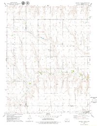
1979 · Grinnell North
USGS Topo · 1:24,000
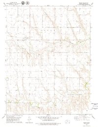
1979 · Seguin
USGS Topo · 1:24,000