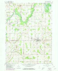
1959 Map of Mentone
USGS Topo · Published 1980About this map
The Tippecanoe River meanders through a landscape defined by its complex drainage network and the convergence of Marshall, Kosciusko, and Fulton Counties. In this mid-century period, the town of Mentone serves as a local hub, situated along the Norfolk and Western railroad and adjacent to the IOOF Cem. The survey reveals a settled agricultural region punctuated by small communities like Etna, Sevastopol, and the curiously named Old Tip Town.
Find a feature on this map
73 named features on this map. Tap any name to fly to it.
Don’t see what you’re looking for? This feature index may not catch every label — zoom into the map to look around manually.
Map Details
Editions of this 1959 Mentone Map
3 editions found
Other maps of this area

1953 · Fort Wayne
USGS Topo · 1:250,000

1953 · Chicago
USGS Topo · 1:250,000

1956 · Fort Wayne
USGS Topo · 1:250,000

1957 · Chicago
USGS Topo · 1:250,000

1957 · Inwood
USGS Topo · 1:24,000

1958 · Bourbon
USGS Topo · 1:24,000

1959 · Atwood
USGS Topo · 1:24,000

1959 · Mentone
USGS Topo · 1:24,000

1961 · Silver Lake
USGS Topo · 1:24,000
1961 · Burket
USGS Topo · 1:24,000