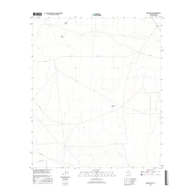
2016 Map of Mentone SW
USGS Topo · Published 2016About this map
McCarty Draw and Smith Draw cut across this arid West Texas landscape, illustrating the ephemeral drainage patterns typical of the Permian Basin region. This topographic study reveals a terrain defined more by its dry watercourses and remote road network than by permanent settlements. Industrial and ranching access is evidenced by the intersection of Co Rd 427 and Co Rd 426, while Ranch Rd 2119 provides a primary corridor through the southern reaches. In the eastern portion of the map, Halamicek Draw serves as a significant landmark in an area otherwise marked by subtle elevation shifts and the isolated path of Fence Line Rd. The map provides a high-resolution view of the local infrastructure used for land management and resource extraction during the mid-2010s.
Find a feature on this map
7 named features on this map. Tap any name to fly to it.
Don’t see what you’re looking for? This feature index may not catch every label — zoom into the map to look around manually.
Map Details
Editions of this 2016 Mentone SW Map
This is the sole edition of this map. No revisions or reprints were ever made.
Other maps of this area

1921 · Toyah
USGS Topo · 1:125,000

1954 · Pecos
USGS Topo · 1:250,000

1957 · Pecos
USGS Topo · 1:250,000

1961 · Mentone
USGS Topo · 1:24,000

1961 · Anderson Ranch
USGS Topo · 1:24,000

1961 · Sand Lake
USGS Topo · 1:24,000

1961 · Narrow Bow Draw
USGS Topo · 1:24,000
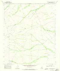
1968 · Halamicek Ranch
USGS Topo · 1:24,000

1968 · Mentone SW
USGS Topo · 1:24,000

1970 · Big Hill
USGS Topo · 1:24,000