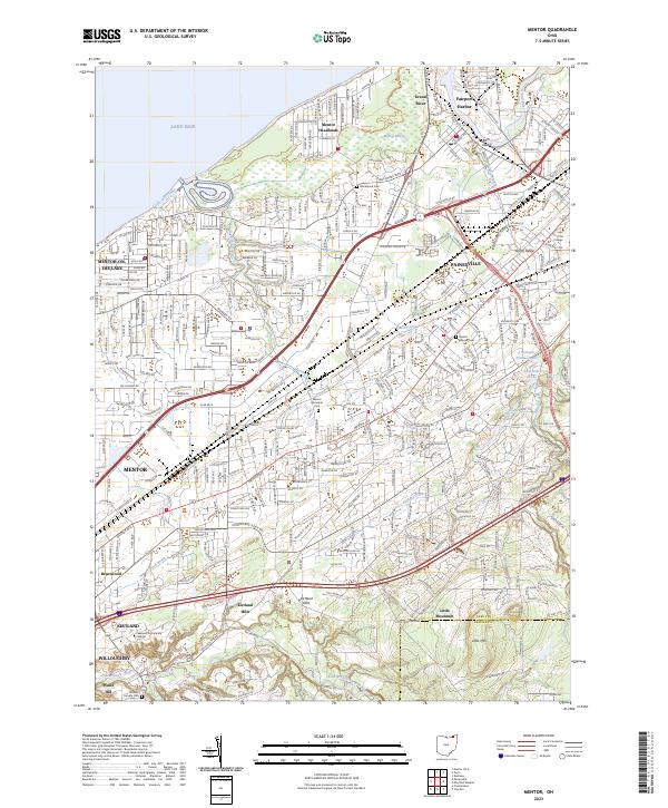
2023 Map of Mentor
USGS Topo · Published 2023About this map
The James A Garfield National Historic Site anchors the landscape of Mentor, reflecting the area's deep ties to American presidential history. Situated along the shore of Lake Erie, the region transitions from the busy docks of Fairport Harbor and the wetlands of the Mentor Marsh to the elevated terrain of North Ridge. The map documents the dense suburban development of Painesville and Mentor-on-the-Lake, contrasted with the larger estates and hills of Kirtland Hills and Waite Hill to the south.
Find a feature on this map
39 named features on this map. Tap any name to fly to it.
Don’t see what you’re looking for? This feature index may not catch every label — zoom into the map to look around manually.
Map Details
Editions of this 2023 Mentor Map
This is the sole edition of this map. No revisions or reprints were ever made.
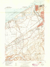
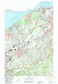
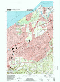
Historical Maps of Birchwood Through Time
6 maps found