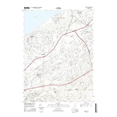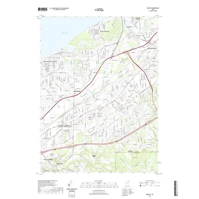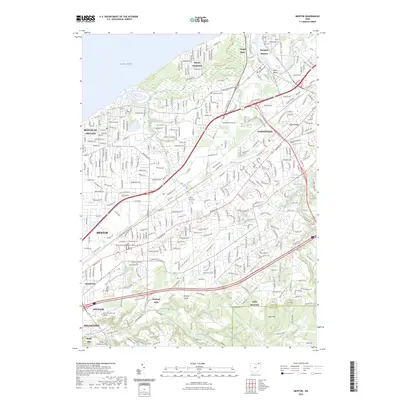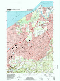
1994 Map of Mentor
USGS Topo · Published 2000About this map
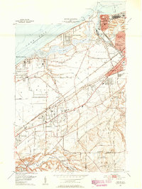
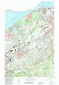
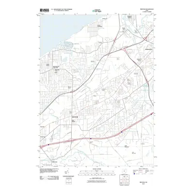
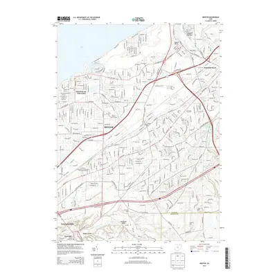
Lake Erie shoreline dynamics and the deep industrial roots of the Connecticut Western Reserve define this Lake County landscape. The Grand River cuts a winding path toward Fairport Harbor, where a cluster of Salt Wells and the U S Coast Guard Station mark the critical intersection of water-borne commerce and mineral extraction. The transition from the lakefront Mentor Headlands through the protected Mentor Marsh to the inland North Ridge illustrates the geological succession of the region, while the dense residential corridors of Mentor and Painesville show the post-war suburban maturity of the area. Local history is anchored by long-standing institutions such as Lake Erie College and numerous parochial schools like St Marys Sch. Genealogy researchers will find significant value in the detailed plotting of the Mentor Ave Cem and the surrounding residential grids that expanded toward Mentor-on-the-Lake and Kirtland Hills.
Find a feature on this map
73 named features on this map. Tap any name to fly to it.
Don’t see what you’re looking for? This feature index may not catch every label — zoom into the map to look around manually.
Map Details
Editions of this 1994 Mentor Map
This is the sole edition of this map. No revisions or reprints were ever made.
Historical Maps of Mentor Through Time
10 maps found