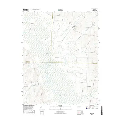
2016 Map of Mercer
USGS Topo · Published 2016About this map
The Hatchie River meanders through a dense network of wetlands and bottomlands in this West Tennessee landscape, defining the boundaries between Haywood, Madison, and Hardeman counties. The river's influence is evident in the numerous oxbow lakes and water bodies such as Horseshoe Lake, Pipkin Lake, and Matthews Lake that dot the Hatchie Bottom. These features, along with Goat Island and Sluffs Slough, illustrate a complex hydrological system that has shaped local settlement patterns for generations.
Find a feature on this map
89 named features on this map. Tap any name to fly to it.
Don’t see what you’re looking for? This feature index may not catch every label — zoom into the map to look around manually.
Map Details
Editions of this 2016 Mercer Map
This is the sole edition of this map. No revisions or reprints were ever made.
Other maps of this area

1950 · Sunnyhill
USGS Topo · 1:24,000

1951 · Sunnyhill
USGS Topo · 1:24,000

1956 · Blytheville
USGS Topo · 1:250,000

1959 · Blytheville
USGS Topo · 1:250,000

1959 · Westover
USGS Topo · 1:24,000

1959 · Denmark
USGS Topo · 1:24,000

1959 · Whiteville
USGS Topo · 1:24,000

1959 · Hillville
USGS Topo · 1:24,000

1961 · Bolivar West
USGS Topo · 1:24,000
1961 · Mercer
USGS Topo · 1:24,000