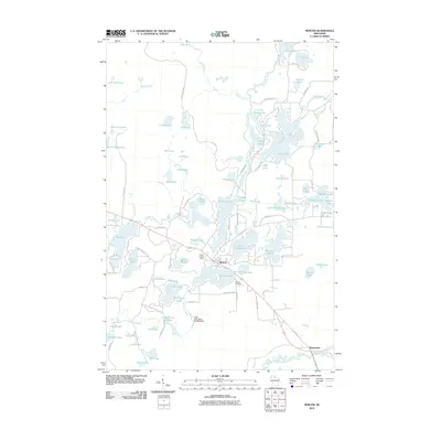
2010 Map of Mercer
USGS Topo · Published 2010About this map
The town of Mercer serves as the central hub of this Iron County landscape, positioned at the junction of several regional routes and surrounded by an intricate network of glacial lakes. In 2010, the community remained defined by its proximity to water, with Mercer Lake and San Domingo Lake bordering the town center. The presence of the Mercer Lookout Tower and the Mercer Cemetery south of town provides specific points of interest for local history and genealogy.
Find a feature on this map
98 named features on this map. Tap any name to fly to it.
Don’t see what you’re looking for? This feature index may not catch every label — zoom into the map to look around manually.
Map Details
Editions of this 2010 Mercer Map
This is the sole edition of this map. No revisions or reprints were ever made.
Other maps of this area

1939 · Winchester
USGS Topo · 1:48,000

1940 · Mercer
USGS Topo · 1:48,000

1943 · Ironwood
USGS Topo · 1:48,000

1945 · Mercer
USGS Topo · 1:48,000

1946 · Winchester
USGS Topo · 1:48,000

1947 · Mercer
USGS Topo · 1:48,000

1953 · Ashland
USGS Topo · 1:250,000

1955 · Mercer
USGS Topo · 1:62,500

1955 · Winchester
USGS Topo · 1:62,500

1955 · Wakefield
USGS Topo · 1:62,500