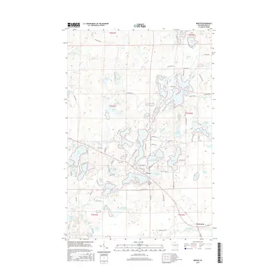
2015 Map of Mercer
USGS Topo · Published 2015About this map
Mercer serves as the central hub of this Northwoods landscape, where the Turtle River and Little Turtle River wind through a complex network of glacial lakes and wetlands. The community is situated at the junction of several local routes, including Co Rd J and W Echo Lake Rd, with the Mercer Cem located south of the main settlement. The presence of a Railroad Grade running past Spider Lake and Plantation Lake points to the area's industrial history, likely tied to timber or early transit corridors that shaped Iron County. To the southeast, the small settlement of Manitowish sits along the Manitowish River, illustrating the importance of water systems to early development. Dozens of named water bodies, from the larger Grand Portage Lake to the secluded Lac de Beaumont, define the geography, reflecting a region deeply intertwined with its hydrography and logging-era infrastructure.
Find a feature on this map
128 named features on this map. Tap any name to fly to it.
Don’t see what you’re looking for? This feature index may not catch every label — zoom into the map to look around manually.
Map Details
Editions of this 2015 Mercer Map
This is the sole edition of this map. No revisions or reprints were ever made.
Other maps of this area

1939 · Winchester
USGS Topo · 1:48,000

1940 · Mercer
USGS Topo · 1:48,000

1943 · Ironwood
USGS Topo · 1:48,000

1945 · Mercer
USGS Topo · 1:48,000

1946 · Winchester
USGS Topo · 1:48,000

1947 · Mercer
USGS Topo · 1:48,000

1953 · Ashland
USGS Topo · 1:250,000

1955 · Mercer
USGS Topo · 1:62,500

1955 · Winchester
USGS Topo · 1:62,500

1955 · Wakefield
USGS Topo · 1:62,500