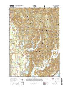
2014 Map of Mercer Lake
USGS Topo · Published 2014About this map
Florence and the coastal lakes of Lane County define this 2014 geographic study, where the Pacific shoreline meets the western edge of the Siuslaw National Forest. The map documents a complex landscape of interconnected waterways, from the North Fork Siuslaw River to a string of coastal basins including Sutton Lake, Mercer Lake, and Munsel Lake. These lakes are separated by notable terrain features like Dowells Peninsula and the high point of Herman Peak. Local history and genealogy interests are represented by the Haring Cem near Wendson Canyon and the residential clusters in Enchanted Valley. The coastal interface is further detailed with landmarks like Cannery Hill and Cannery Point, while infrastructure like the Oregon Coast Hwy and Mercer Lake Rd shows the modern access routes through this timber and recreation country.
Find a feature on this map
91 named features on this map. Tap any name to fly to it.
Don’t see what you’re looking for? This feature index may not catch every label — zoom into the map to look around manually.
Map Details
Editions of this 2014 Mercer Lake Map
This is the sole edition of this map. No revisions or reprints were ever made.
Other maps of this area

1918 · Mapleton
USGS Topo · 1:48,000

1919 · Earl
USGS Topo · 1:48,000

1920 · Siltcoos Lake
USGS Topo · 1:62,500

1920 · Heceta Head
USGS Topo · 1:62,500

1940 · Mapleton
USGS Topo · 1:62,500

1941 · Siltcoos Lake
USGS Topo · 1:62,500

1942 · Heceta Head
USGS Topo · 1:62,500

1942 · Siltcoos Lake
USGS Topo · 1:62,500

1943 · Goodwin Peak
USGS Topo · 1:62,500

1945 · Mapleton
USGS Topo · 1:62,500